World Dream Bank
home -
add a dream -
newest -
art gallery -
sampler -
dreams by
title,
subject,
author,
date,
places,
names
Abyssia:
the Greek Islands
by Chris Wayan, 2010
for Odysseus and Penelope, with apologies for how it turned out
Abyssia home - down to
map -
building Abyssia -
geology & geography -
critters & cultures -
the clash of names -
more worlds? Planetocopia!
The Greek Islands are the only land in the entire Mediterranean region--indeed, in all the European Sea.
On Earth, the Mediterranean is the twisted, crumpled remnant of the much larger Tethys Sea; an ocean in miniature, full of ridges, deeps and volcanoes. It's not unique--the Caribbean, the seas of Indonesia, and the Scotia Basin off Tierra del Fuego come to mind--but it does pack a lot of spectacular geography into a small area. So I was curious what would become of it on Abyssia.
The answer shocked me. The Mediterranean, Red and Black Seas, though complex, are on average a mile shallower than the oceans around them. On Abyssia, therefore, with altitudes inverted, even the deepest basins and trenches in this tormented region usually don't reach the surface, or even within a kilometer of it.
The Greek Isles are the lone exception: the tips of a long arc of coral reefs running over 1200 km, roughly from our world's Rhodos (off Turkey) to Ithaka (off Greece, near Albania), paralleling and just south of what we'll have to call the Cretan Trench. All the islands are low, but two of the westernmost are quite large: slender Kythera is 110 km long but only 30 wide (70 by 20 mi), like a miniature Crete minus the mountains; Kephalonia (sometimes called Nisai) to the northwest, is a broad wedge of low hills and plains, 70 by 95 km (45 by 60 mi). The chain dwindles to the east: the modest Cretan Chain lies south of the Minoan Deep (our Crete); Rhodos is just east of our Rhodos, and smaller; around 50 km across (30 mi).
The climate is Mediterranean, but distinctly warmer and wetter than our Greece. It never snows, for the hills are too low and thousands of miles of sea moderate temperature swings. Open woods of oak and olive, with greener laurels along the creeks and pines on the higher hills. They open into meadows and brushy slopes, as in our Greece, but more trees and brush, fewer bare rocks; more rain.
These Greek Isles are worth comparing with our similarly sized and equally isolated Hawaiian chain. Hawaii is rainer, ruggeder, a patchwork of microclimates. Its huge volcanoes and high crags cast rainshadows; you find rainforest and deserts five miles apart on the same island. The interiors of most Hawaiian Islands were barren heights, mazes of crags and canyons, or impenetrable thickets; so the Polynesians settled densely only on the coasts.
In contrast, the Greek Islands are eminently livable all over. Gentle topography, mild climate, farmable soil as well as fishing better than Hawaii, due to the long arc of reefs offshore. They could sustain a large population, even without much technology. But will they? Will anyone even find them? Apart from the arctic Lena Islands, the Greek Islands are the loneliest lands on Abyssia. They're about 1900 km (1200 mi) from the nearest land, the Biscay Islands off Atlantis. The Lenas, hardly a center of civilization, lie 4000 km to the north; equally far to the southeast lies Somalia; but from Rhodos you could sail due east or south 10,000 km without finding so much as a reef.
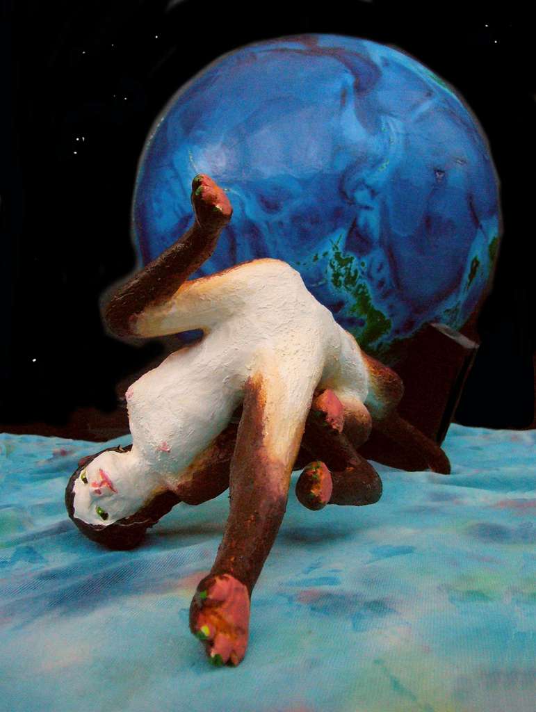
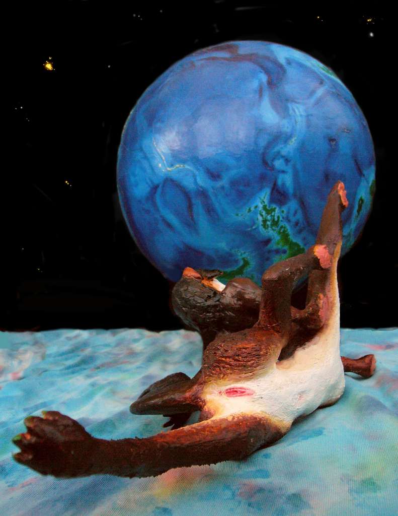
Let's say they do get settled by the best sailors in this hemisphere: the leptaurs of Atlantis and Azorea. Well, here's a local performance artist, Dzoa, dancing a piece expressing the deep isolation of her home. It's called "Lonely Teardrop", and from this angle, Abyssia really is.
That big globe Dzoa's using as a prop is accurate; practically no land visible in this hemisphere except the green tongue of Azorea in the lower right. Her home, the Greek Islands, are upper right; mere specks.
There are others--you can see the Lenas the center-left, but since they're polar, I'm surprised Dzoa's people even know about them. They sure won't settle them. Harsh.
But I do think the Greek Islands themselves will be found and settled. If deep-sea navigation develops at all on Abyssia, and mariners go past following the island chains and start looking for shortcuts, one of the most obvious is from eastern Atlantis to Somalia, gateway to the other lands of our Indian Ocean.
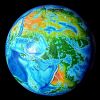
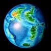
But the discovery could be locally driven, too. For the juxtaposition of ridges and deeps like the Alpine and Balkan Trenches will in places force deep currents to the surface. Though not as shallow as our Grand Banks, the long skein of fishing banks between Atlantis and the Greek Islands should be just as rich; they'll lure the Basque fishers of the Biscay Chain (right side of global map; part of the Iberian Isles) to sail ever further east. Over the Pyrenees Trench to the Tyrrhenian Banks, then the Ionian, and eventually the Levantine.
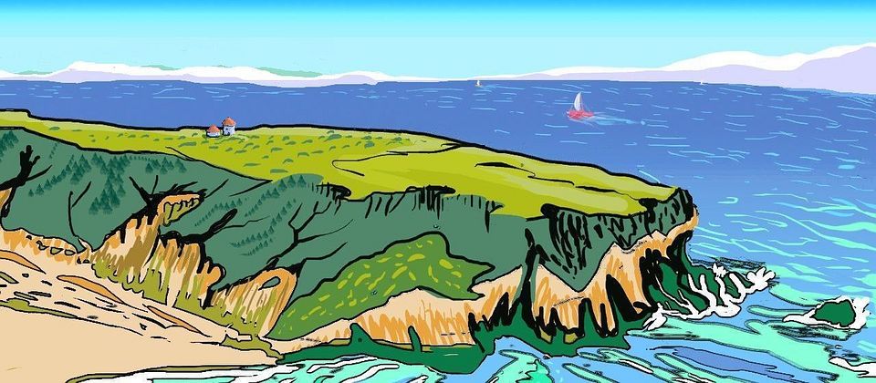
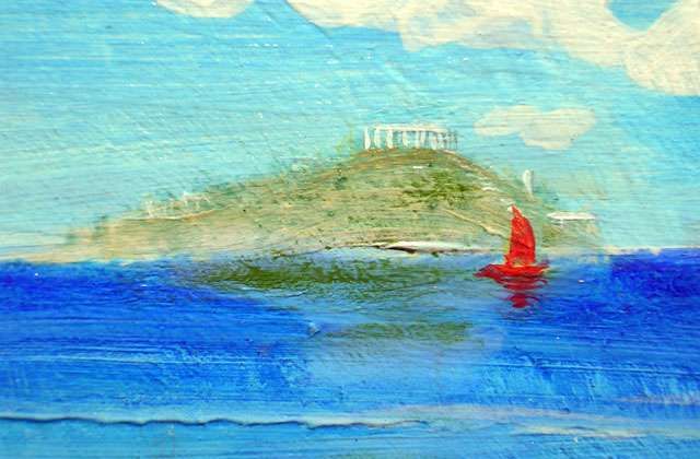
Ithaka Head; Kephalonia in fogbank; Greek Isles, Abyssia; Wayan, after detail of Tom Killion's woodblock "Bonny Doon Beach".
This wave of fishers mirrors our own world's Basque wave of secret exploration west to the New World--except here the Basques sneak east! I suppose this mirror-reversal is to be expected for Abyssia, where everything's backward and upside down--but I didn't expect it. The Abyssian Basques will keep their fishing grounds quiet, of course, as long as possible; Basques are Basques, even if they look like great auks or centaurian cats.
So in the end, I think, the Azorean Basques who find and settle the Greek Islands do so not out of Conquistador hubris--God, gold, and fame--but for fish, peace and obscurity. They're safe refuges from politics, persecution and taxes.
Not the defiant, short-lived Pirate Utopias of our world, exactly... but maybe utopias just the same. In their low-key Abyssian way.
 TOURS: this route snakes around Abyssia's major lands -
Lena Is. (brr!) -
Greek Is. -
Atlantis -
Azorea -
Cayman and Albatrosia -
Andean Is. -
Scotia Is. -
Morningtonia -
Agassiz -
South Pacifica -
East Pacifica -
Hawaiian Sea -
Pacifica Desert -
Filipinia -
Banda Is. -
Vityaz Archipelago -
Tasman Is. -
The Bight -
Whartonia -
Chagosia -
Somalia -
Mascarenia and Crozetia -
Weddellia -
Argentia -
Pernambuco -
Angolia -
Tristania -
Agulhas group
TOURS: this route snakes around Abyssia's major lands -
Lena Is. (brr!) -
Greek Is. -
Atlantis -
Azorea -
Cayman and Albatrosia -
Andean Is. -
Scotia Is. -
Morningtonia -
Agassiz -
South Pacifica -
East Pacifica -
Hawaiian Sea -
Pacifica Desert -
Filipinia -
Banda Is. -
Vityaz Archipelago -
Tasman Is. -
The Bight -
Whartonia -
Chagosia -
Somalia -
Mascarenia and Crozetia -
Weddellia -
Argentia -
Pernambuco -
Angolia -
Tristania -
Agulhas group
Abyssia's homepage - map - peoples - regional tours - names
LISTS AND LINKS: More worlds? Planetocopia! - dreams of other worlds - ecology - climate change - evolution - natural disasters - terraforming - sculptures and 3D art -
World Dream Bank homepage - Art gallery - New stuff - Introductory sampler, best dreams, best art - On dreamwork - Books
Indexes: Subject - Author - Date - Names - Places - Art media/styles
Titles: A - B - C - D - E - F - G - H - IJ - KL - M - NO - PQ - R - Sa-Sk - Sl-Sz - T - UV - WXYZ
Email: wdreamb@yahoo.com - Catalog of art, books, CDs - Behind the Curtain: FAQs, bio, site map - Kindred sites