World Dream Bank
home -
add a dream -
newest -
art gallery -
sampler -
dreams by
title,
subject,
author,
date,
places,
names
How I Built Abyssia
by Chris Wayan, 2007-2012
for William Beebe and Otis Barton, first voyagers into the abyss
Abyssia home - down to
map -
building Abyssia -
geology & geography -
critters & cultures -
the clash of names -
more worlds? Planetocopia!
Introduction
-
Maps -
Relief -
Holes -
Steps -
Boom! -
Lies -
Breath -
Pictures
Abyssia started on a dare. My friend Dan saw a sister-planet I was building, Inversia, where up is down and down is up, and he noticed that to preserve the distinctive outlines of the continents, I'd put a lot less water over the inverted land. Dan asked "What if you put ALL our water back, so the only land is our deepest abysses?"
It was an interesting challenge--first estimating the volume of water in all our seas (around 1,250,000,000 km3, or 300,000,000 miles3), then pouring it on a strange new topography and estimating how deep it would flood...
Introduction -
Mapping Sea Levels
-
Relief -
Holes -
Steps -
Boom! -
Lies -
Breath -
Pictures
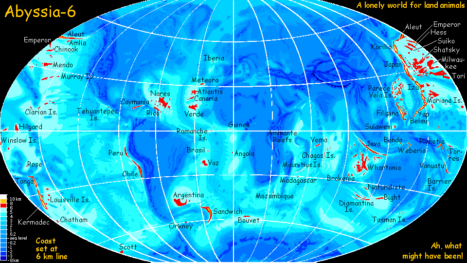
My initial calculations of the new sea level were way off. I was so slow to catch my error that I even mapped it. Very dramatic! Let's call it Abyssia-Six, since it suggested that Abyssia's coastline would be follow the contour six kilometers down! A catastrophic flooding--just scattered islands, less than 1% land. The name's also a tip o' the hat to Kurt Vonnegut's Ice-Nine.
But at last I caught my mistake, recalculated it all, and got just under 5 km, not 6. 4900 meters isn't terribly accurate but I can't do much better by hand. I was glad it was close to a round metric number, 5 km, a contour that at least appears in most modern bathymetric maps. Few abyssal maps I've seen HAVE gradations as fine as 100 meters, and I wouldn't trust them if they did, given the disagreements between even recent maps with 1-km intervals! Depths more precise than this are often just spot soundings (remember, precise doesn't necessarily mean accurate.)
Thus, many of Abyssia's continental coasts are off by 100 meters, though I tried to paint generously to compensate a bit. Areas with fjords are probably pretty close, but the straight coastlines of low plains may be significantly off. Small, lonely islands with steep drop-offs are probably the most accurate, since they're often based on spot soundings.
Even 21st Century bathymetric maps disagreed to a surprising extent, so I'm not too apologetic about my inaccuracies; they're a compromise between half a dozen maps and atlases available in my library and on the Web (mostly paper; Web maps generally weren't detailed enough for my purposes).
It's all rougher than I'd like. Still, the maps are good enough to give you an idea just how small Abyssia's continents would be--proving my central point, that Earth is dangerously wet and drier worlds may actually be a bit better off as life-incubators.
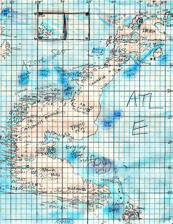
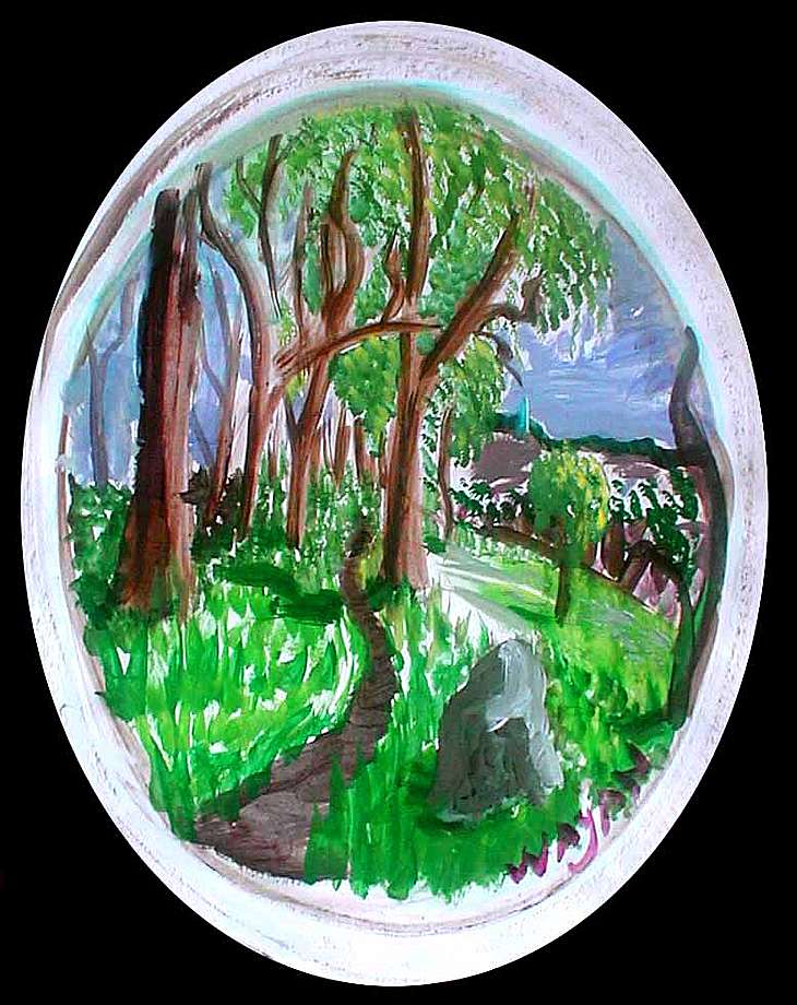
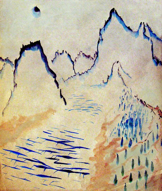
Having found bathymetric maps I could semi-trust, I sketched out compromise coastlines, lakes and mountains in pencil; the example to the right is one of 23 regional sketchmaps.
Abyssia's nomenclature is based on local seamounts, trenches, fracture zones and abyssal plains. Some are inevitable, like Atlantis; some involved choice. For example, one of the two continents in the northern Atlantic has to be called Atlantis of course; but which? I chose the larger western one, mainly because four abyssal plains fuse to form it and if it's not Atlantis I'd have to decide between Nares, Sohm, Hatteras or Sargassia; the eastern continent, on the other hand, has a clear alternative name, Azorea. Judgment calls, yes--but none of these names are merely invented or arbitrary.
Intro -
Maps -
Relief on a Globe
-
Holes -
Steps -
Boom! -
Lies -
Breath -
Pictures
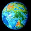
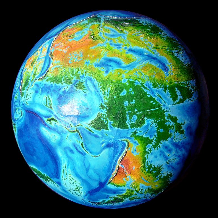
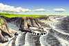
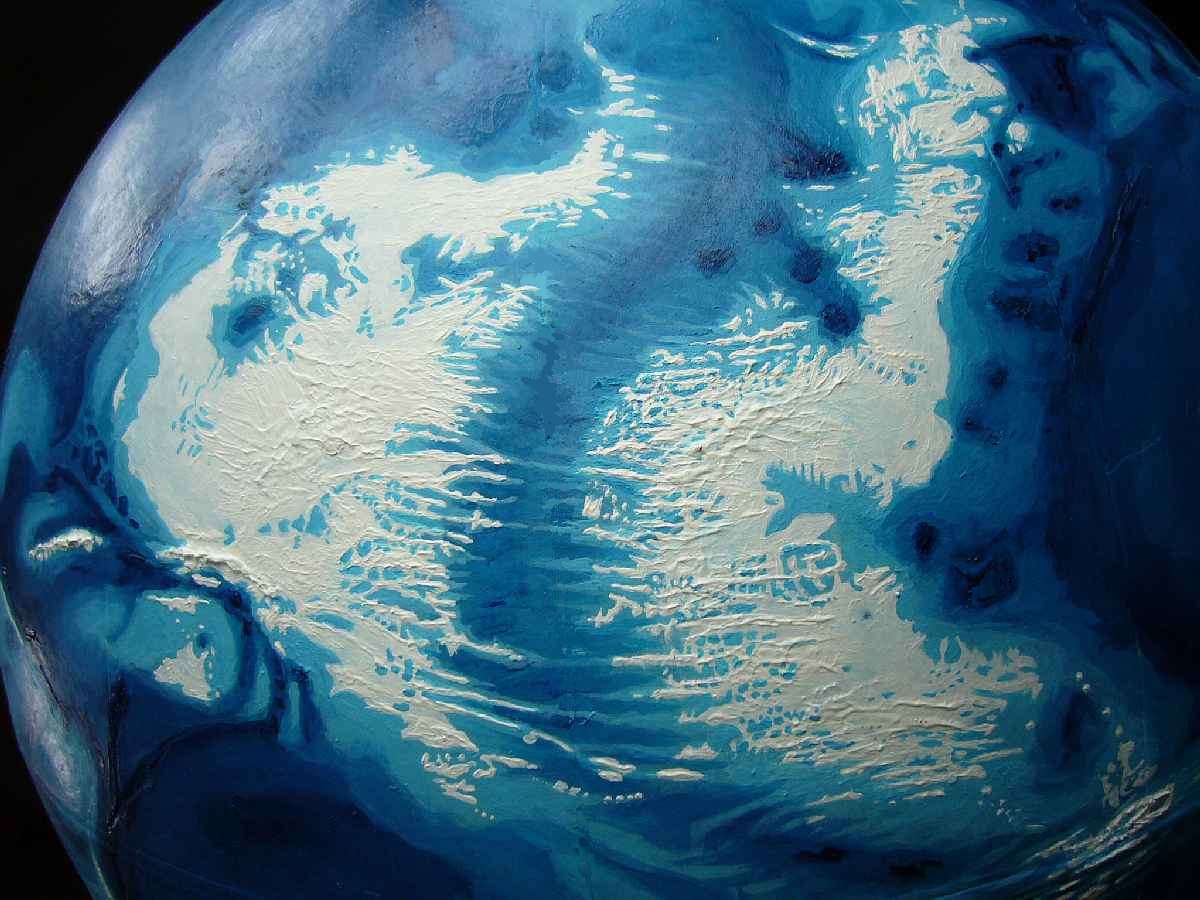
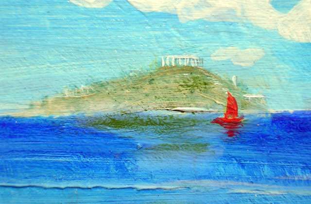
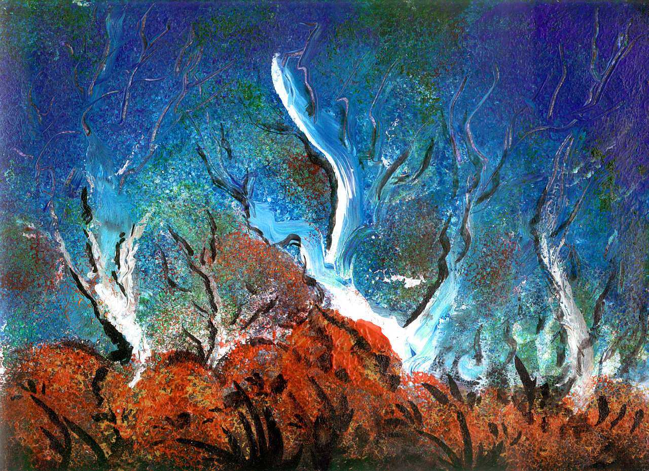
The next step was embodying these maps in three dimensions. I got an old globe and cut trenches where all our major mountain ranges are. Next I painted the trenches midnight blue and the ex-continents deep blue, then built up mountains over our trenches with acrylic sculpture gel. The coastlines are thick white paint, the shallows turquoise. These complex coasts took over a month of steady work with a tiny brush and magnifying glasses.
The result surprised me. We tend to think of the abyss as a featureless muddy plain. The truth is that every new sonar sweep reveals more complexity; it's quite rugged down there. The parallel fjordlike bays serrating so many Abyssian coasts are the result of huge fracture zones. The photo below shows Azorea on the left, Atlantis on the right, with the Atlantic Deep snaking between them. (Spain's in the upper right, the Caribbean in the lower left). Lacy, crazy coasts like these repeat all over Abyssia. Now you see why this step took me months!

Intro -
Maps -
Relief -
Deep Blue Holes
-
Steps -
Boom! -
Lies -
Breath -
Pictures
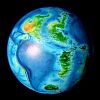
Our sea-floor's peppered with volcanoes, too, far more than anyone expected. These are a bit of an esthetic problem on Abyssia--what's the tectonic explanation for all those conical pits? Abyssian geology would madden any Terran--but it's worth noting the reverse is true, too. Why not an active mantle with a lot of puckers where crust is crunched in a "downdraft", a world with rifts that pull inward instead of spreading? This isn't theoretical: puckers like this can be found on Venus ("inward" coronae), and the hottest convection system of all has lots of them: we call them sunspots. No volcanic cones on the sun!
Abyssia doesn't spew, it just sucks.
Yep, it seems implausible to me, too. Volcanoes really are more common than puckers on Venus, Earth, Mars, Io... But treat it as a given, a necessary consequence of the artistic conceit.
So instead of agonizing over their cause, consider their effects: chains of lakes miles deep dot these low, rolling continents. Instead of just a few Lake Baikals and Black Seas and Mediterraneans, they're everywhere. Especially in deserts, they alter local climates and life-zones: our world's shallow lake-basins can easily dry up entirely, but a lake three miles deep isn't so easy to evaporate; it recedes until the surface area fits its limited inflow. Like a gambler with deep pockets, such a pit-lake survives hard times that'll kill shallower rivals.
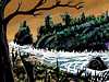
The Pacifica Desert, for example, has some splendid examples (upper left of photo to right--the area inland of that huge coastal range. Swiss-cheese country! Though of course you can't tell it's desert yet, since I still need to color the land. Man, all that white looks like Snowball Earth from 670 million years ago... Well, Indecisive Earth. Still a lotta blue. Snowball Earth really may have iced over to the equator.)
Oh--the red dots in the photo are navigational aids set 15 degrees apart (around 1030 mi or 1670 km). The Pacific basin is so vast, trackless and alien I really needed these--elsewhere, the shadowy blue coasts of former continents always hovered round the edges, guiding me. But the Pacific is its own world.
Intro -
Maps -
Relief -
Holes -
Steps on the Path
-
Boom! -
Lies -
Breath -
Pictures
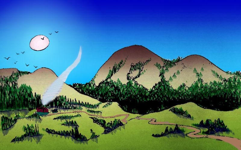
The next step, determining climates, is a horrendously difficult one on most planets--endless feedback and corrections! But Abyssia is a relatively simple place. No polar lands to speak of; and its scattered, low-lying temperate and tropical lands are mostly maritime and fairly rainy. It'll be a green-and-blue ball, that's already clear. Only huge Pacifica will have large deserts. I won't run out of red or ochre!
As I write this, I'm finishing the next step: painting in those forests, savannas and deserts. A mere month or two of sore neck and magnifying glasses!
After that, it's a piece of cake. Just...
- photograph the globe and its regions on a black backdrop
- tweak the shots to look like satellite photos
- name everything on an entire planet, respecting oceanographic nomenclature and history
- make dozens of regional maps (hours each!)
- write dozens of skeletal regional tours
- consider who might live on Abyssia--would apes have evolved at all? Who, then? And how far would they have spread?
- What would Abyssian culture(s) be like? Different from ours in some fundamental ways?
- Go back and add THAT layer to the purely geographical tours...
- Revise Abyssia's map in light of all the changes, then make all those regions clickable
- Draw on-the-ground scenery, at least a few per tour. 50-100 total?
- Draw or sculpt likely inhabitants and add portraits to tours--at least a few per tour. 50-100 total?
Oh, yeah, piece of cake. And I chose to do Abyssia for fun, as a sort of relief from the much harder extrapolations needed for Siphonia and Inversia...
Intro -
Maps -
Relief -
Holes -
Steps -
Boom!
-
Lies -
Breath -
Pictures
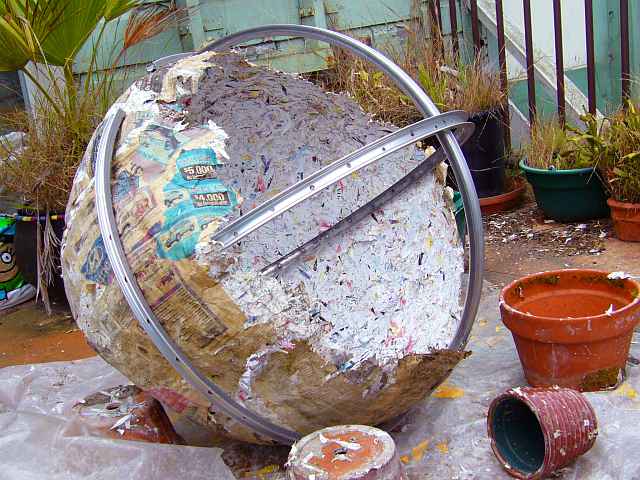
...and a break from building a huge physical model of Lyr, since that exploded on my back porch. Household hint from Martha Stewart: if you MUST use an exercise ball as the armature for an alien planet, don't leave it out in the hot sun. The greenhouse effect is bad enough on Venus, but at least it didn't go BOOM... Bubble bubble maybe, but not... dare I say it? What the hell:
MY WHOLE WORLD EXPLODED!
Insert tears here.
Oh, the casualties were almost worth it, just to be able to say that and be telling the exact, literal truth.
Besides, as you can see, I ain't quittin'. I just inserted this new armature of dinged-up, useless bike rims. How recyclish can you get? And the Planetbusters will have a harder time trashing the new Lyr, I think.
 I wonder how often other apprentice gods have these problems? Not toddlers like me, still playing with papier-maché--I meant the grad students who get to work on a planetary scale, like the ones who built our shoddy Earth outa scrap iron and graywater. Still, the same frustrations dog us all, kindergarten to college: you've got a great little ecology cooking along, and then the sun burps and it all collapses like a souffle. Shoulda picked a calmer star, Little Yahweh! But E for effort...
Intro -
Maps -
Relief -
Holes -
Steps -
Boom! -
Cartographic Lies
-
Breath -
Pictures
Mapping Abyssia, I ran up against something strange. I needed good atlases and specialized maps for this project; Web maps are adequate for surface and even shallow-water data, but for the abysses, they're just too small-scale and vague--who would want to know the exact countours five kilometers down? So I consulted the best atlases and specialized bathymetric maps in my local libraries, both public and collegiate.

As I compared sources, I found big disagreements--the deep sea floor just isn't well known, not even fully sonar-mapped yet. But here and there, I hit anomalies so big I couldn't explain them: an islet called Swain in the far southeast Pacific (not the one in the central Pacific), a large seamount off Buenos Aires, another off Kangaroo Island south of Adelaide, another in the Menard Fracture Zone... Each of them created large bays in Abyssian lands--or not, if they don't exist. And by the time I found my fourth now-you-see-it-now-you-don't mountain, I was getting suspicious.
After all, publishers of roadmaps lie; they admit it. They invent a village or misspell one name, so their work's identifiable if stolen. Do atlas makers do the same? If so, what better place to place your lie than in the abyss? Nobody cares, right? Just like all mankind's other junk we dump in the sea, cartographic lies accumulate on the abyssal plain. (Well, it's not just us. That abyssal ooze is gross if you look too close. Shit and corpses.) Who's going to write in to protest--Captain Nemo? Giant squid?
So while I'm confident of the existence of Abyssia's lands, and fairly confident that the coastlines I've shown are at least reasonable, I suspect the maps I have to rely on are lying here and there. Now, my alternate Earths often get me into obscure country, where mapmakers get surprisingly sloppy--and that's part of the fun for me, tracking down the truth on limited resources. A zero budget, for one thing; more accurate scientific datasets of Earth and Mars do exist on large CD sets, but I can neither afford them nor run them on my home computer.
So I deliberately work with what's publicly available for free. That's useful: it highlights the limits of libraries and the Web. I compared a dozen good atlases and bathymetric maps and used the best five; yet I'm still uncertain about some areas where I really should have found clear answers. East of Madagascar, southeast of Kerguelen, the Tasman Sea islands, the Coral Sea reefs, the area around Scott Island, the north coast of Argentia, the Arctic islands... the whole damn planet... Nah, that's just frustration talking.
But I'm certain now that some anomalies weren't sloppiness, but deliberate lies. Just thought you'd like to know, considering how much we rely on commercial maps, news agencies, and other purveyors of "facts" for profit. Even here, as far as you can get from human concerns and still be on Earth at all, we find the essential human footprint: lies for the protection of profit.
Like cruising to a mid-Pacific atoll a thousand miles from anywhere, and finding trash on the beach, eh?
Intro -
Maps -
Relief -
Holes -
Steps -
Boom! -
Lies -
Deep Breath
-
Pictures
For four years, Abyssia felt like a big, empty, echoing stage. But that soon may be over. I just finished mapping the last normal-sized continent, Agassiz; I'm taking a deep breath before tackling that huge, difficult continent of Pacifica. Sketchmaps are now in place, and skeletal tours.
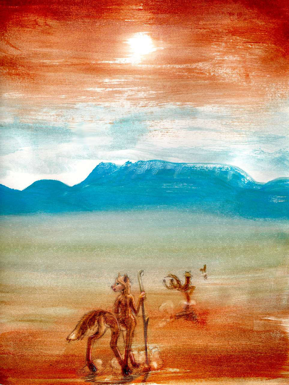
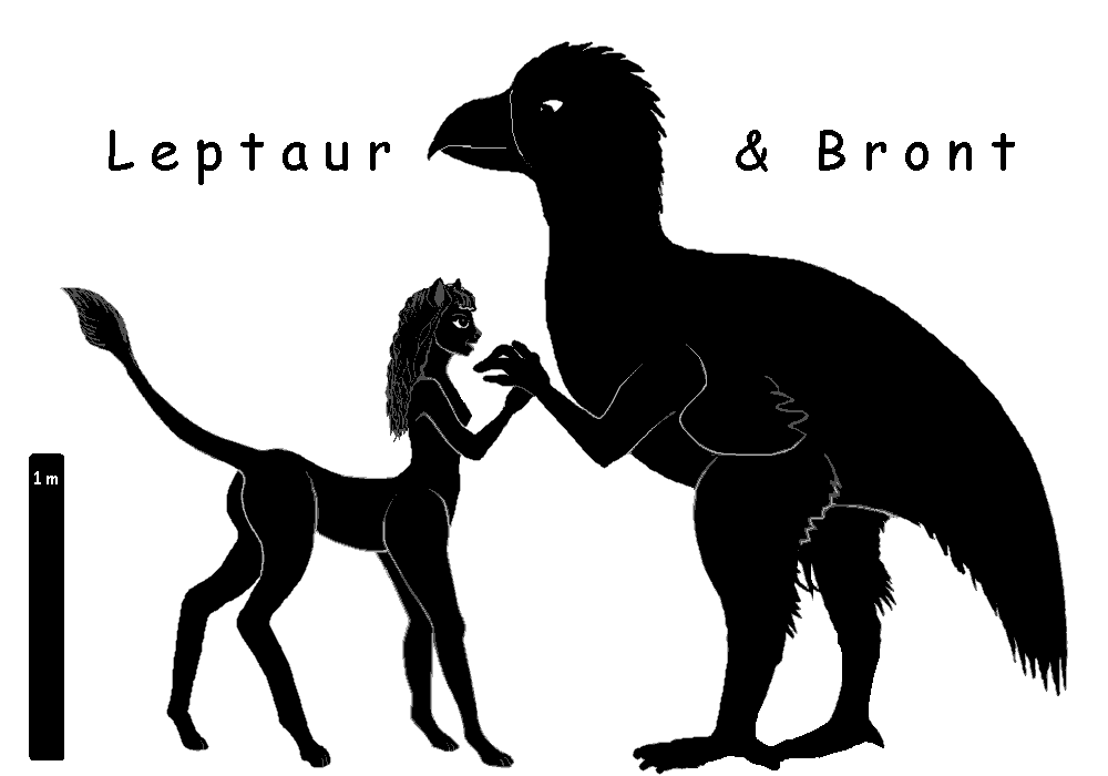
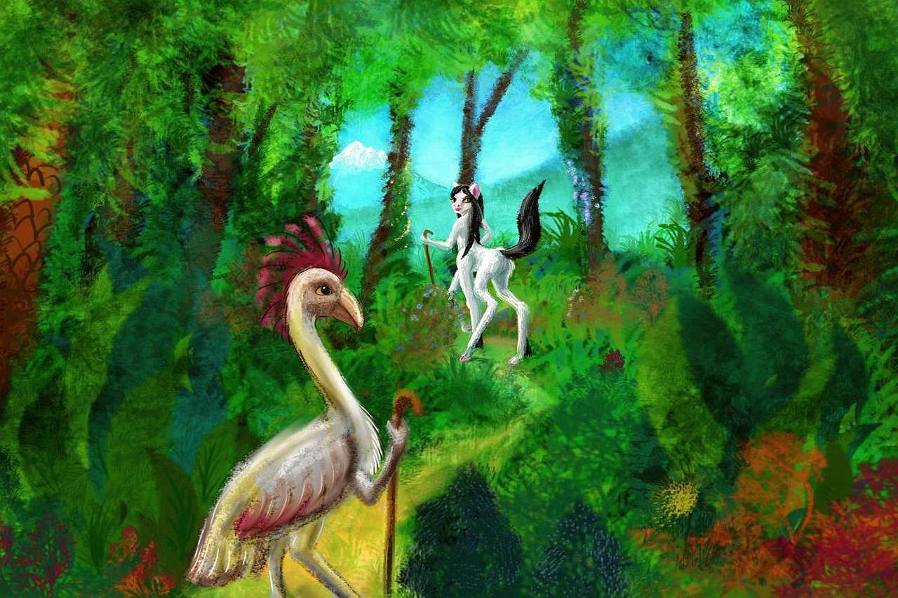
Now I can shift focus to evolution and culture. I'm roughing in my descriptions of intelligent species--huge flightless birds with hands, a trio of centauroids, and one or two reef-dwelling cephalopods. But culture's still unclear. It all hinges on the pitlakes in the Pacifican desert, with their bizarre conditions. Could intelligent fliers evolve there? If so, that'll transform Abyssian civilization; I need to think out the ramifications. Patience!
Intro -
Maps -
Relief -
Holes -
Steps -
Boom! -
Lies -
Breath -
Pictures
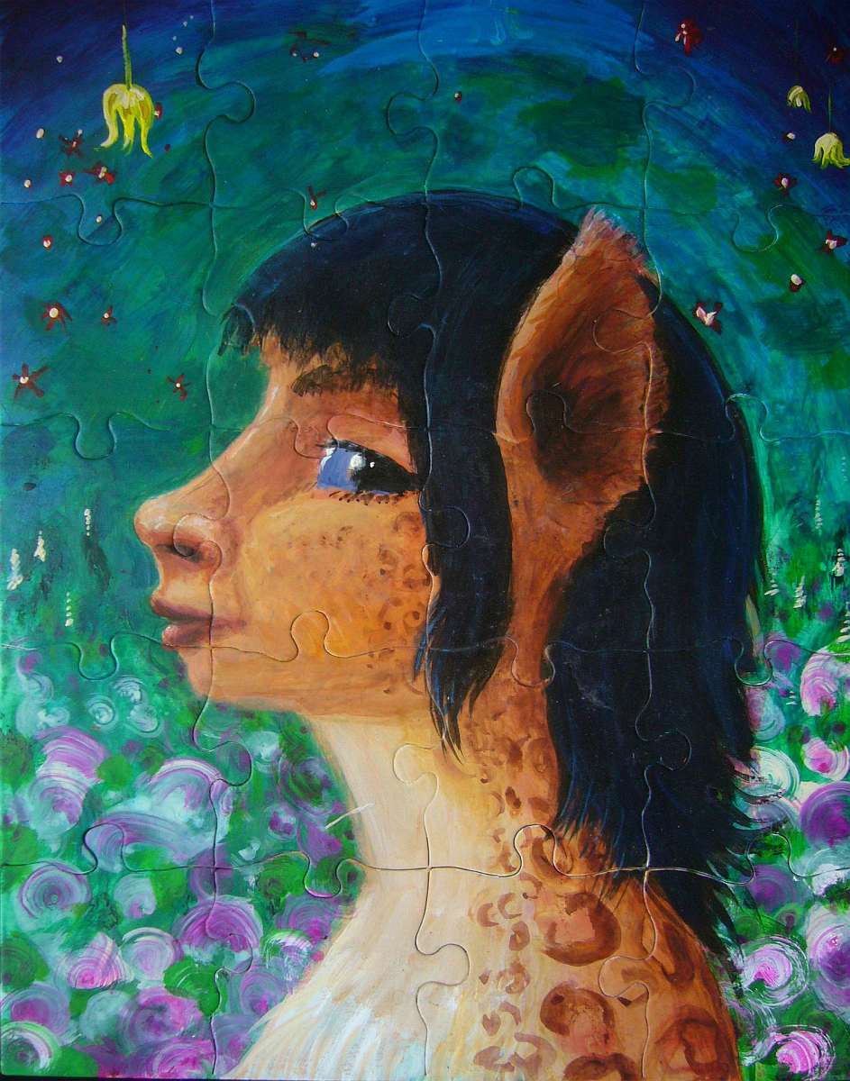
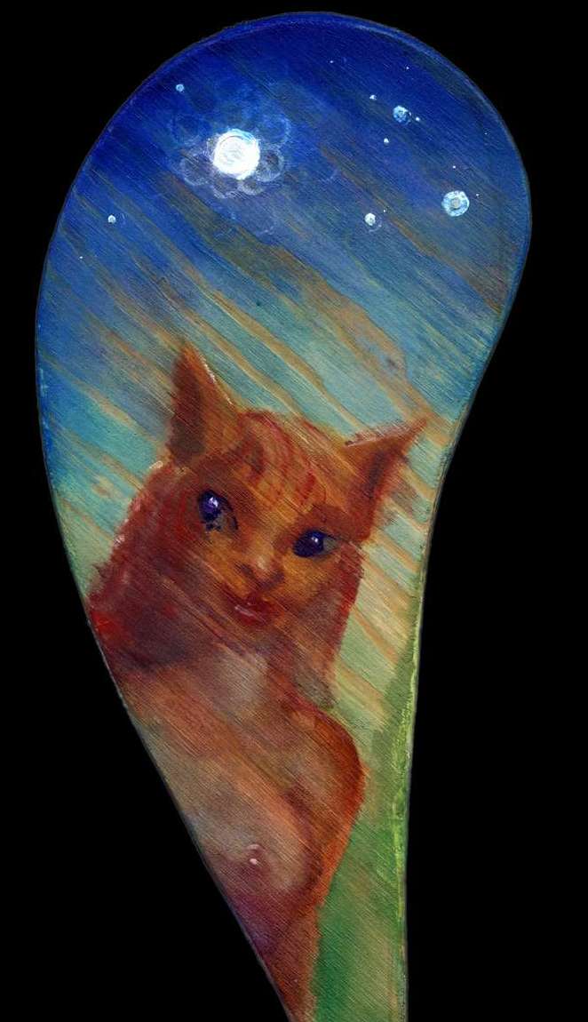
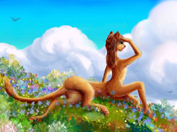
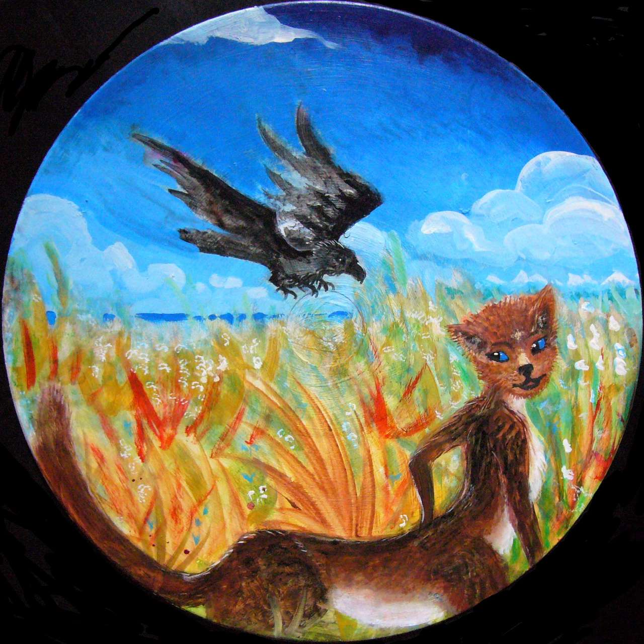
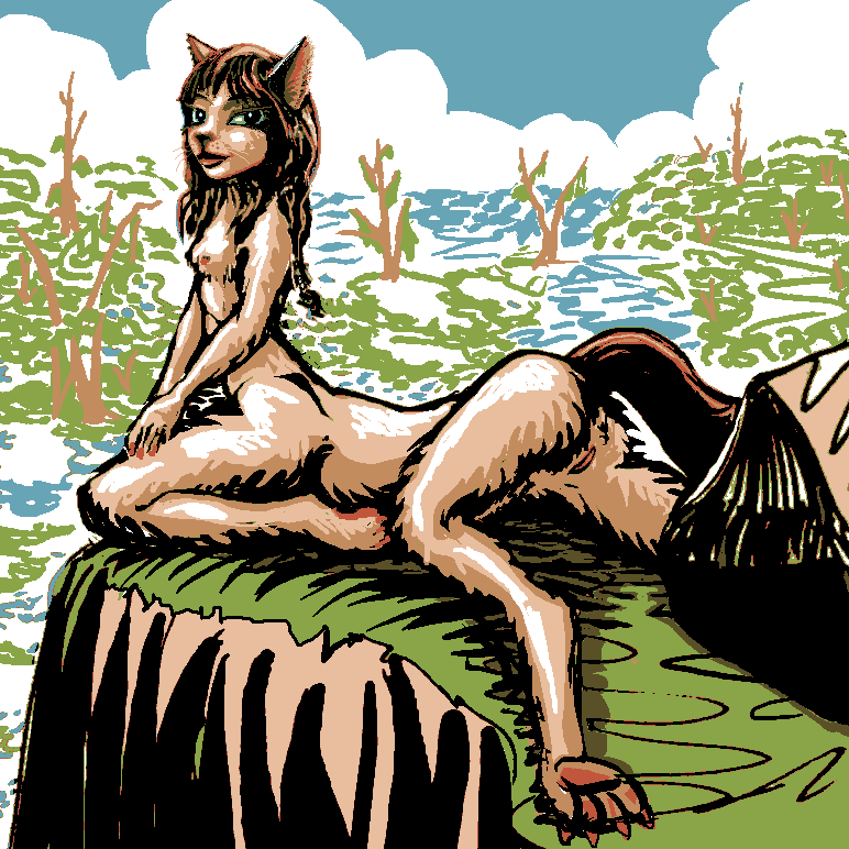
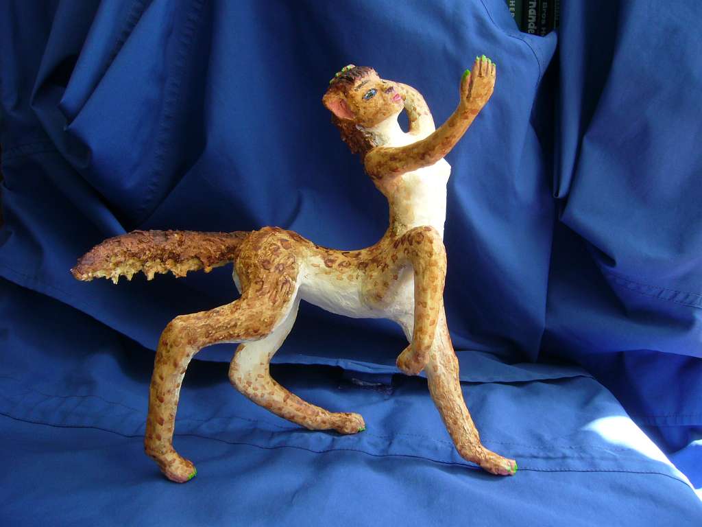
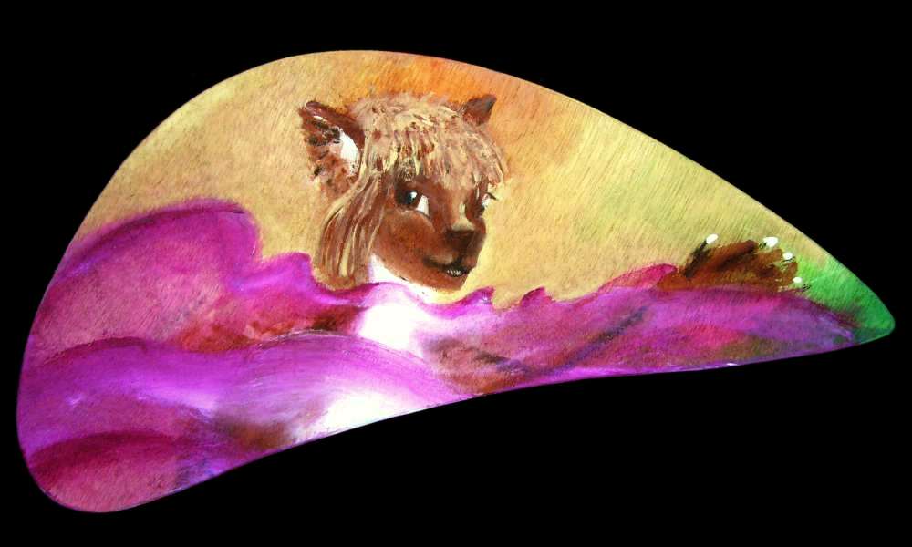
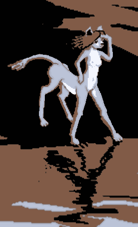
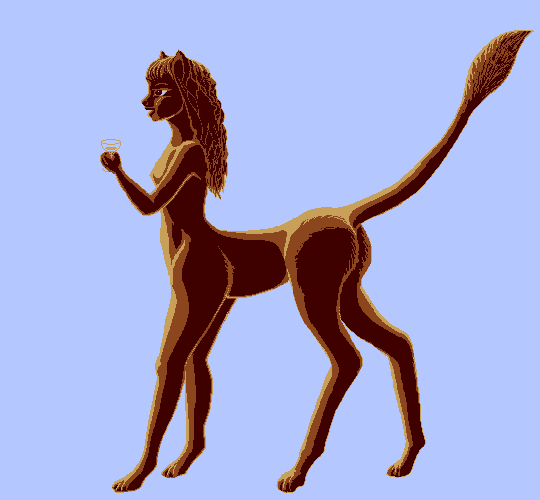
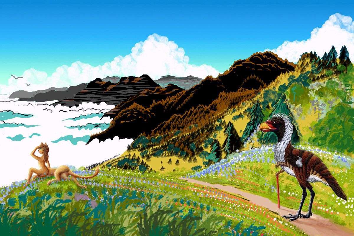
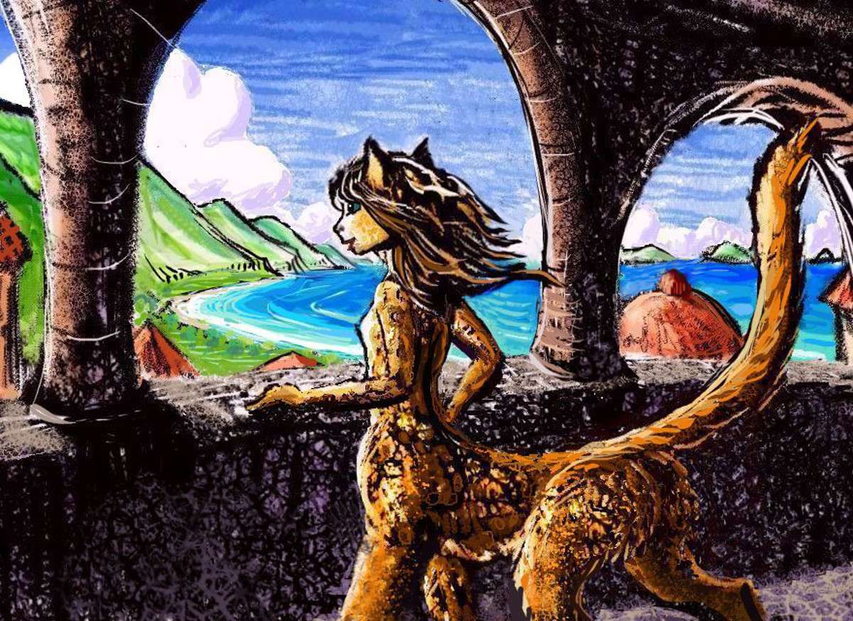
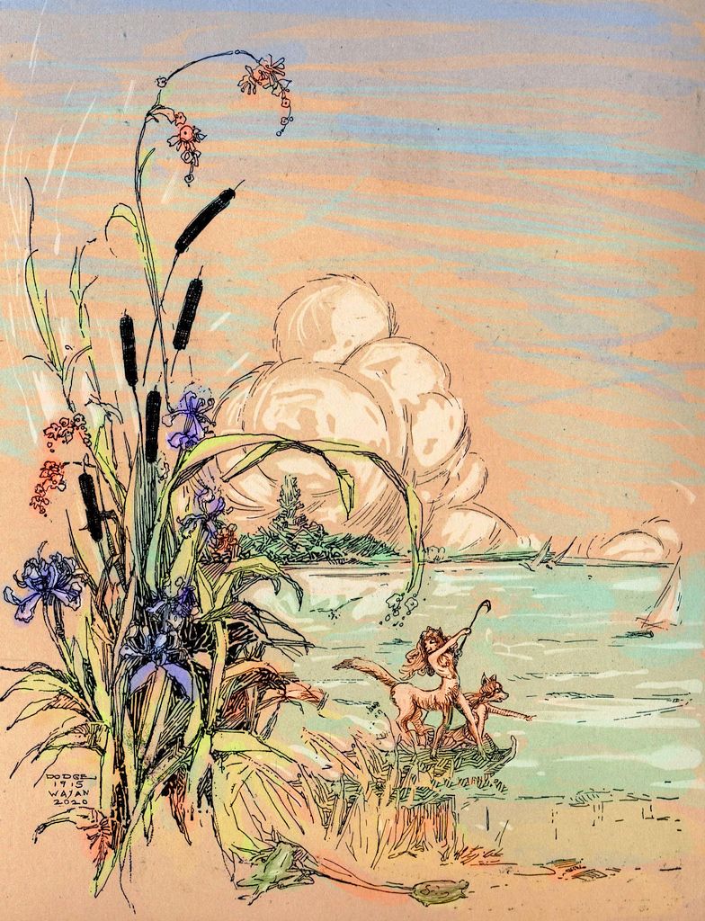
The orbital photos of the planet came first, of course. Then the maps, as I built regional tours. Then came a lot of tentative sketches, in every medium, of my Abyssians--pencil, ink, paint, collage, digital media, and sculpture.
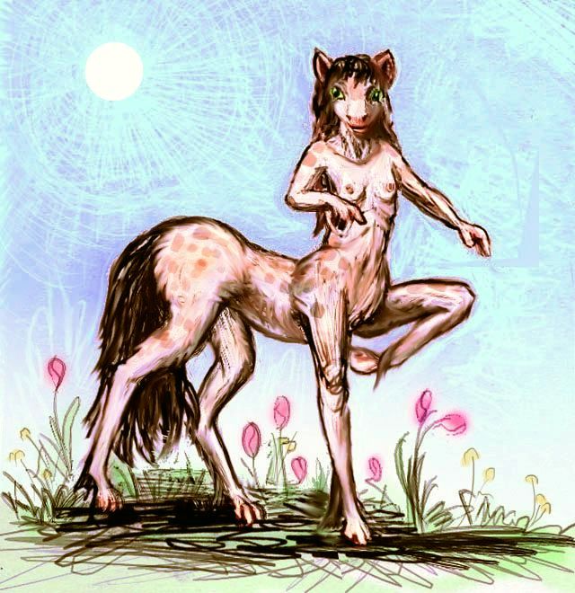
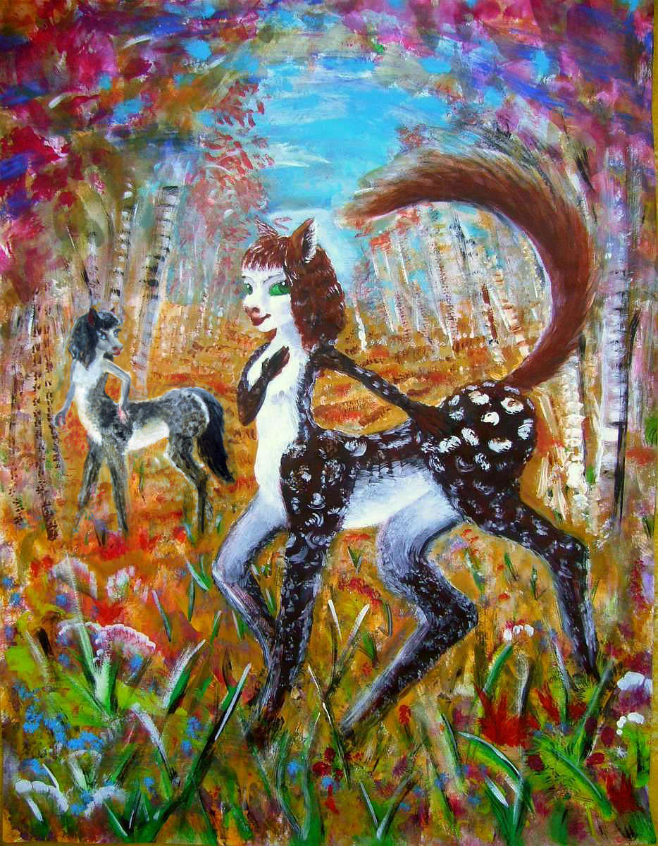
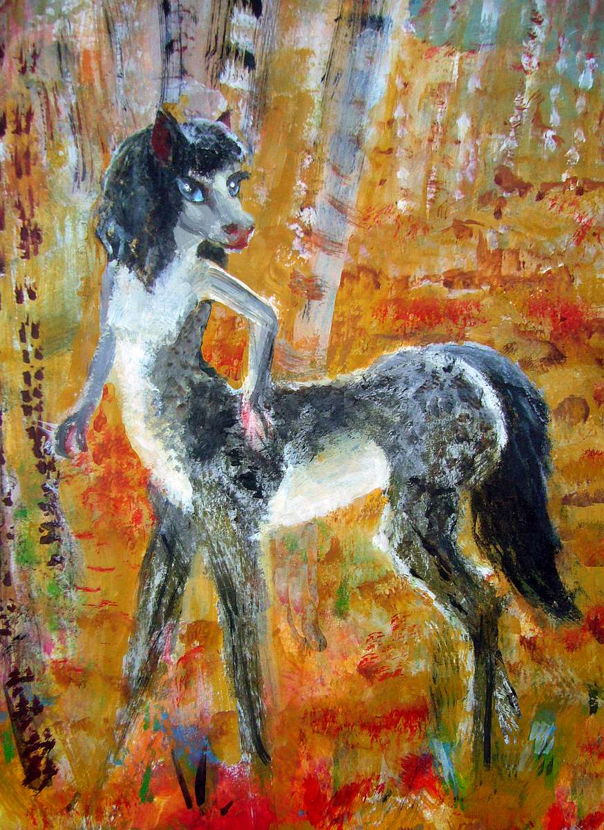
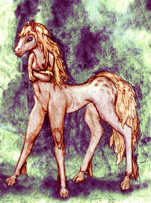
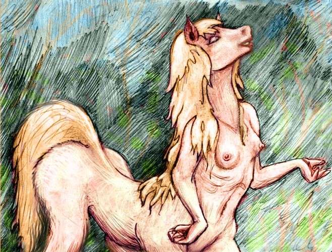
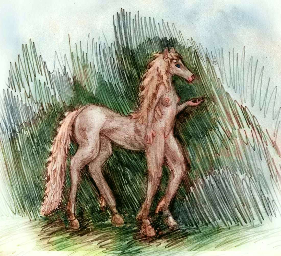
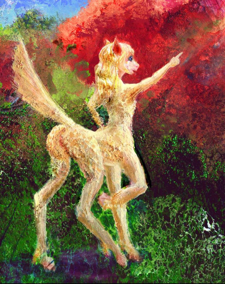
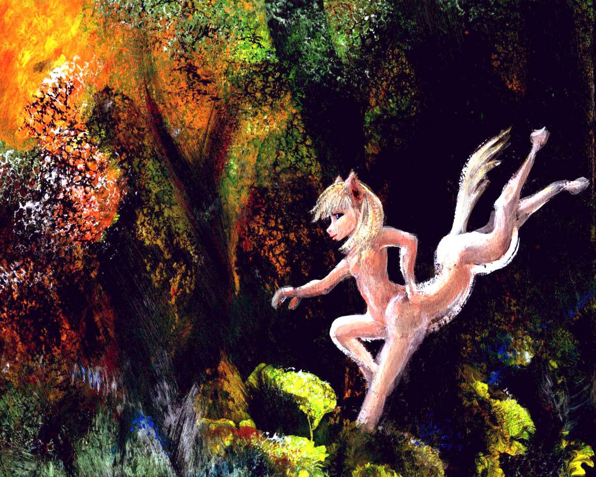
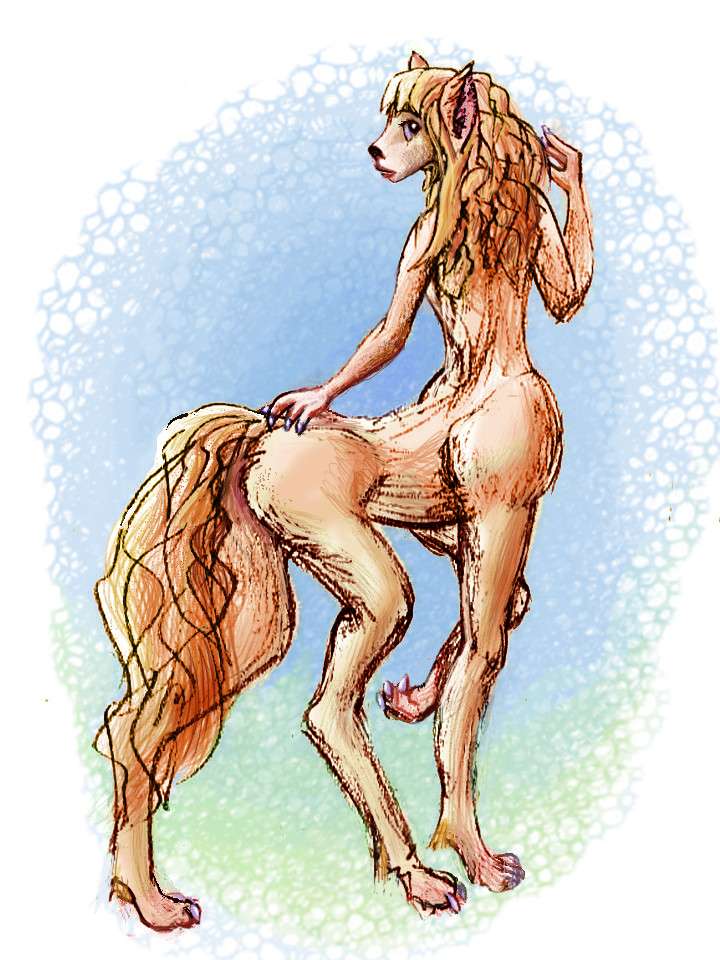
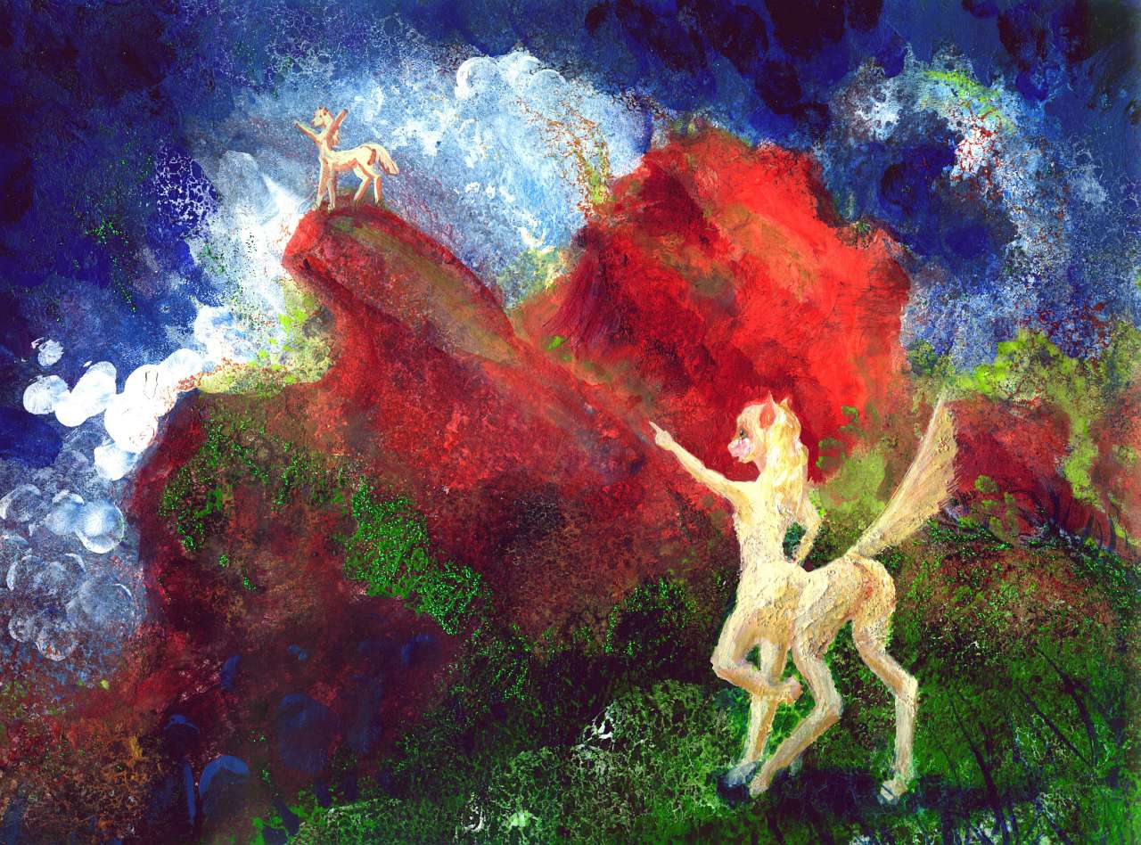
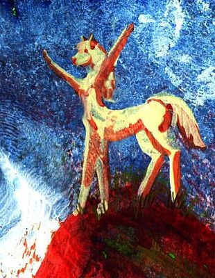
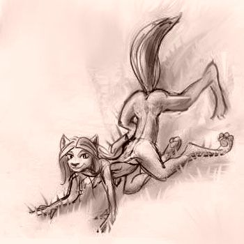
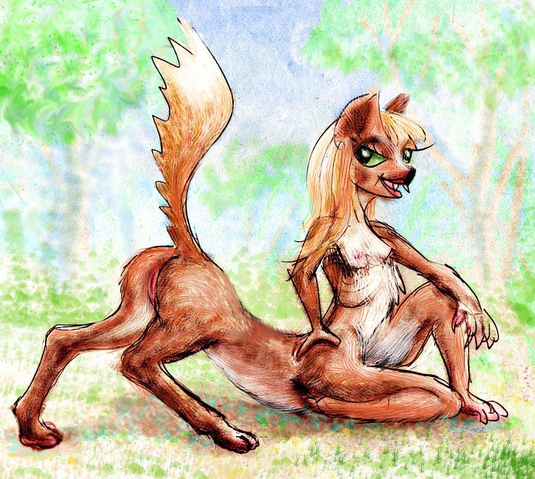
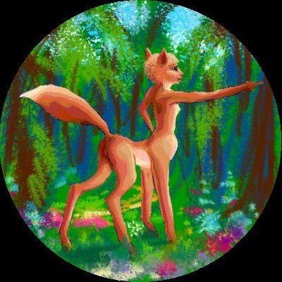
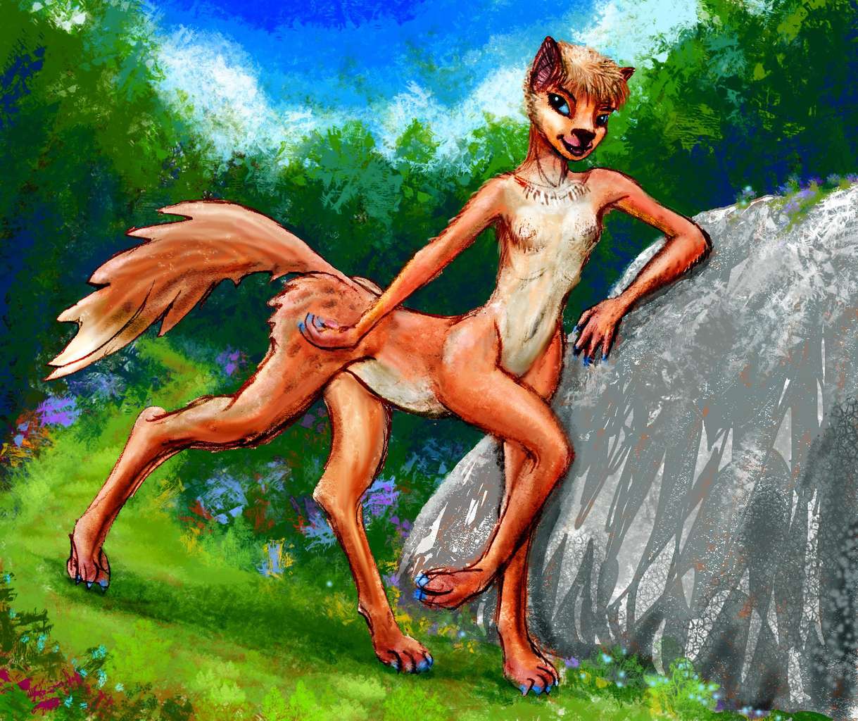
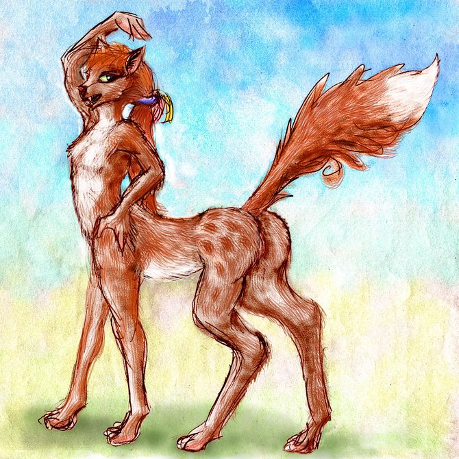
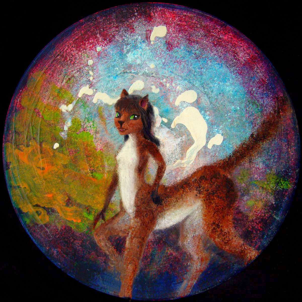
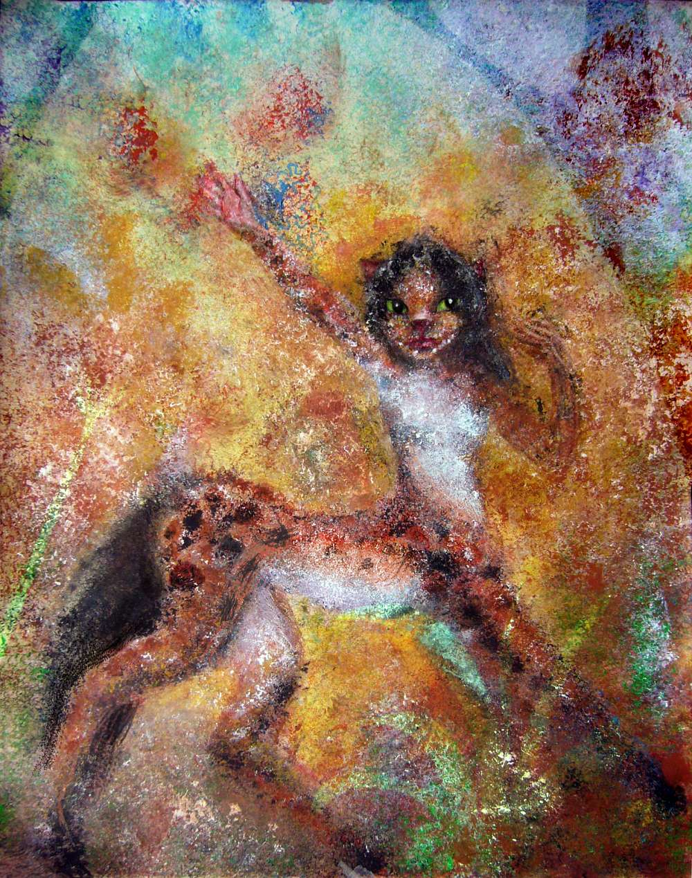
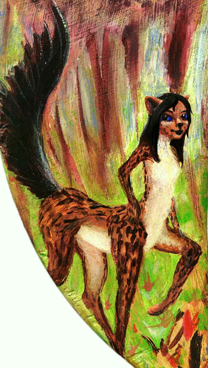
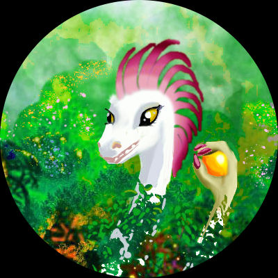
At first I focused largely on my three mammalian species--pure bias! I find them sexy and it's always more fun to draw sexy subjects...
I also staged several figurines of each mammalian species in a lot of dioramas, since that was so successful (in the technical sense; plenty of folks find them disturbing in the esthetic sense) on my previous planet Kakalea. Most of these diorama shots aren't laid in yet; several dozen will eventually appear.
A chart of all those diorama portraits will, within a year or so, go here.
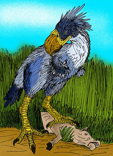
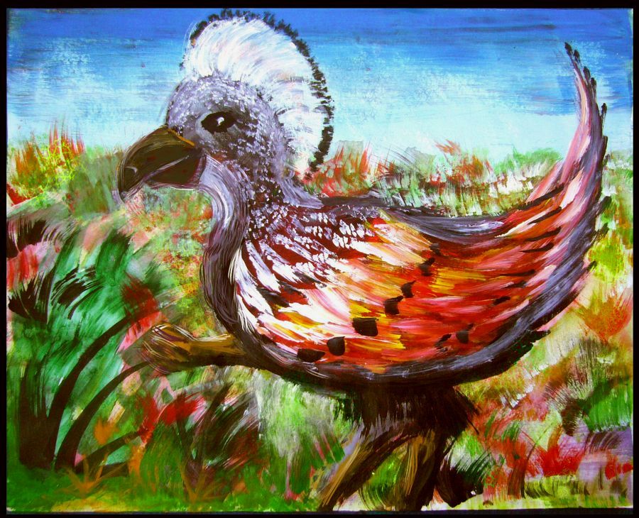
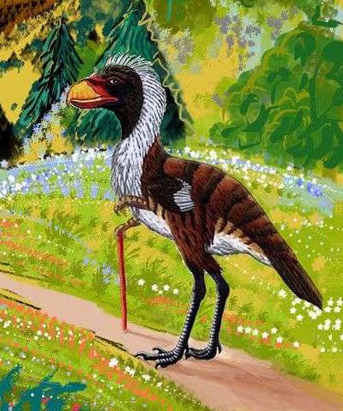
As I said, I started with mammals because it's always more fun to draw sexy subjects and I could use myself as a model. I'm less confident with giant flightless birds. But at last I realized Abyssia's prehistory, especially the KT impact that killed off the dinosaurs, wouldn't have been as severe with an asteroid hitting deep sea not chalky, carbon-rich limestone. More diverse birdlike dinos would survive; my avians didn't have to resemble Earth birds any more than the mammals do.
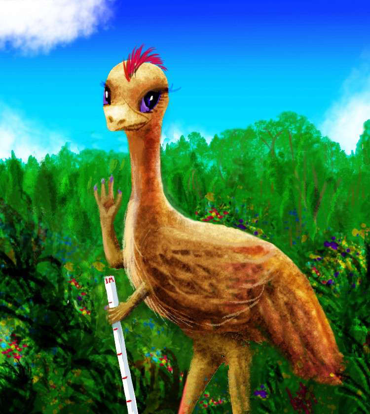
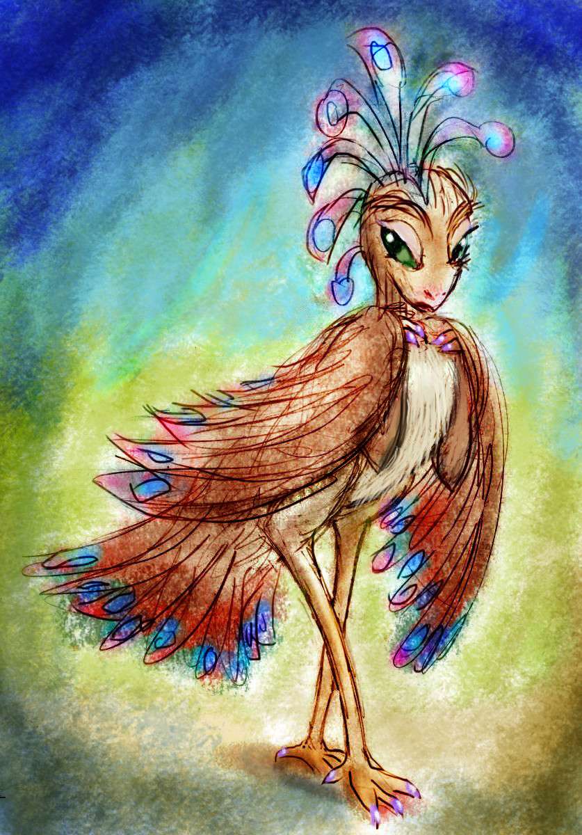
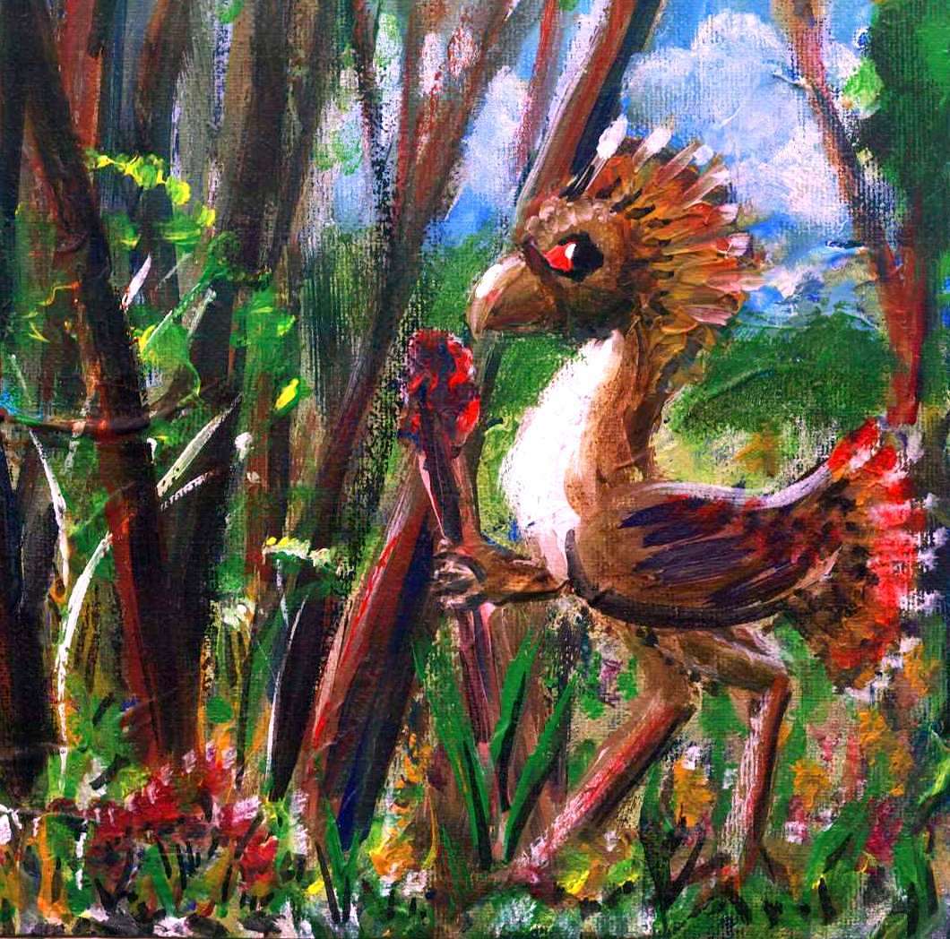
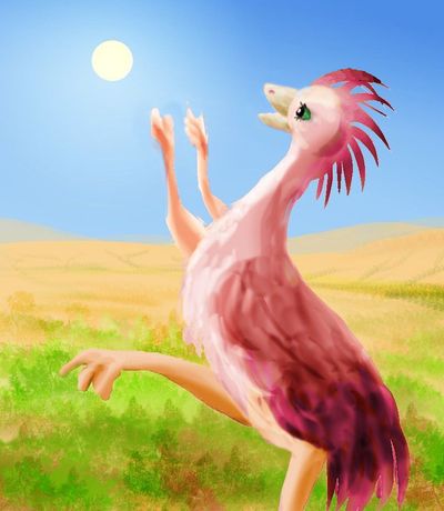
So I'm trying to inject a bit of dino charm as I tackle the birds--like Nabiro the dancer, Chirang the lutist, a kasowar fruitpicker. I have to invent a lot of them. Eventually, Abyssia's geography (all those island mini-continents!) made it clear that avians were more likely to dominate the archipelagoes. Stormblown stray birds are just more common than mammals or lizards on natural rafts. And stranded birds with no natural predators often evolve into much bigger flightless birds, big enough to be intelligent.
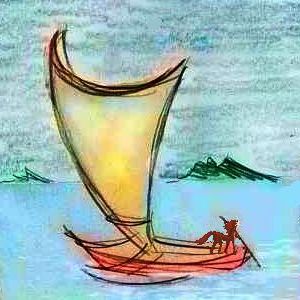
So I did some research on Earth's extinct flightless birds--a tragic bunch, to my mind--useless little wings where many bipedal dinos had small but functional hands. I've tried to imagine how such big flightless birds with hands would evolve out of "tooth and claw" to tool use and civilization--to varying degrees--and how they'd come to terms with mammals as they invent boats and start to spread--sailpower catching up to (lost) wingpower. As of this moment (July 2017) they're not all done, but most are.
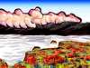
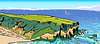
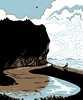
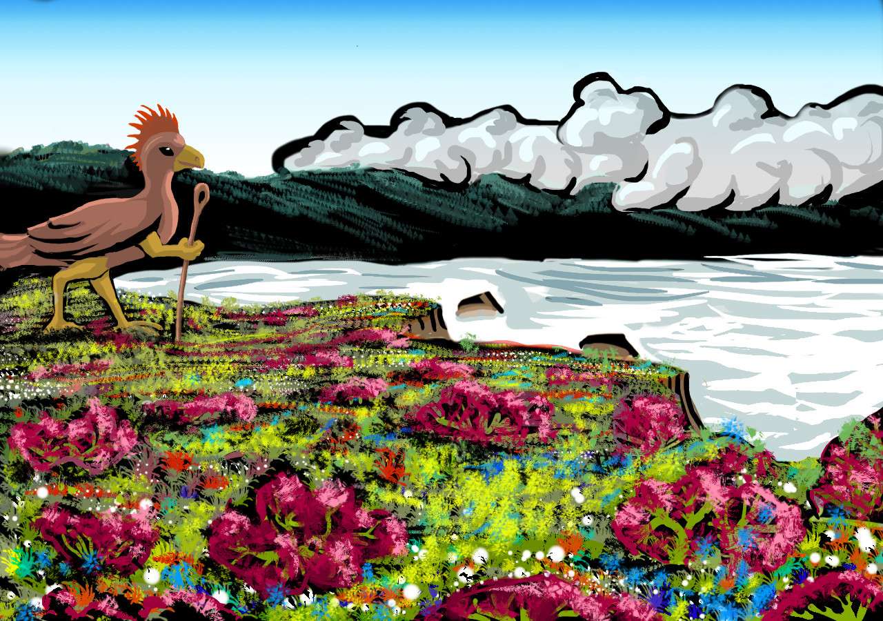
Scenery
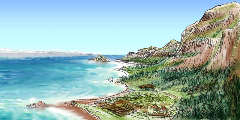
What I didn't have was a similar pool of illustrations of the scenery. I've never been confident of my compositional skills. In portraiture that hardly matters (your subject gets plopped front and center!) but in landscape, composition makes or breaks an image. A master's eye brings out the beauty in even the quietest landscape; an awkward composition makes even spectacular scenery banal.
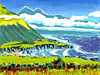
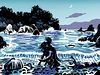
So I decided to learn compositional boldness from a master--the woodblock prints of Tom Killion. He recently did a book with poet Gary Snyder, California's Wild Edge--history, poetry, and prints about the California coast, especially Big Sur. Very splashy, dramatic stuff! And rather like large parts of Abyssia, with its low mountains, subtropical climates from wet to dry, and rugged, indented coasts.
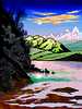
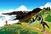
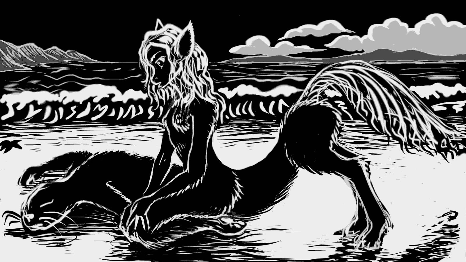
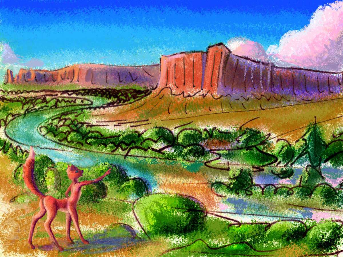
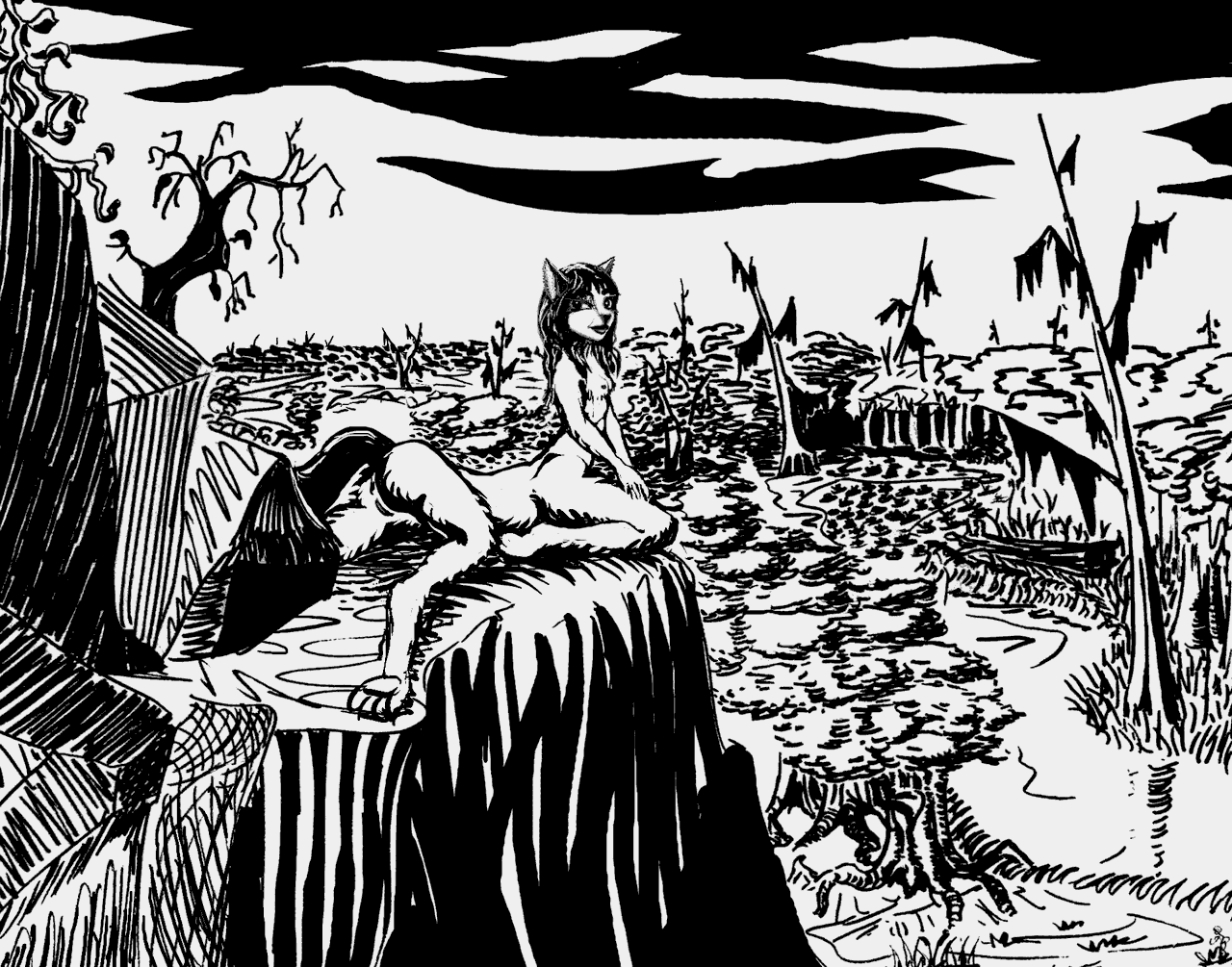
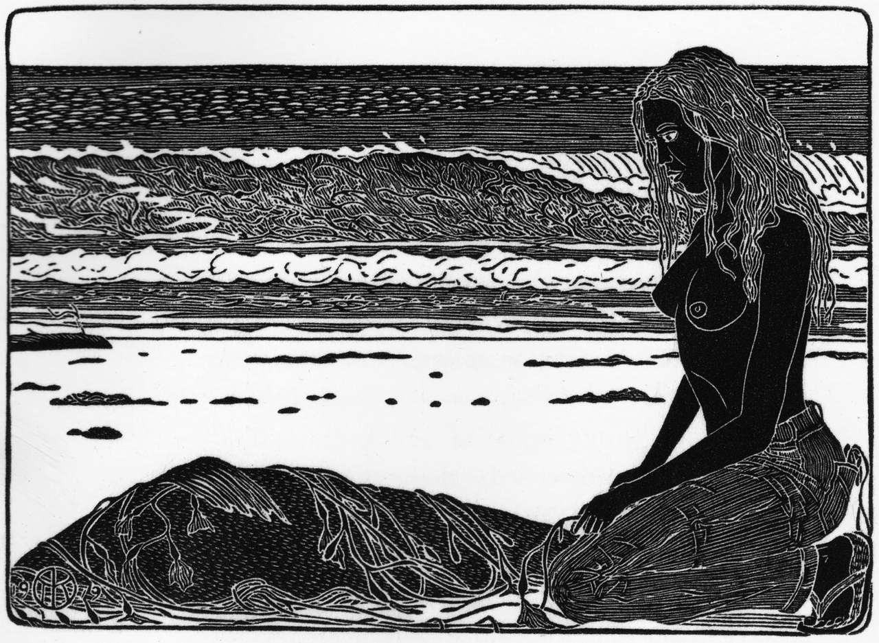
My method: I open the book at random, or flip till some image catches my eye. I put the open book just under my computer screen and turn on GIMP, an Open Source graphics program. And then I treat Killion's composition as if it were nature in front of me, and sketch what I see, interpreting it freely, altering as necessary for Abyssian conditions. Usually those are subtle--Abyssia is, after, basically Earth--but not always. For example, here's Tom Killion's early black-and-white print Dead Seal and my Abyssian take on it.

Tom Killion: Dead Seal, 1979
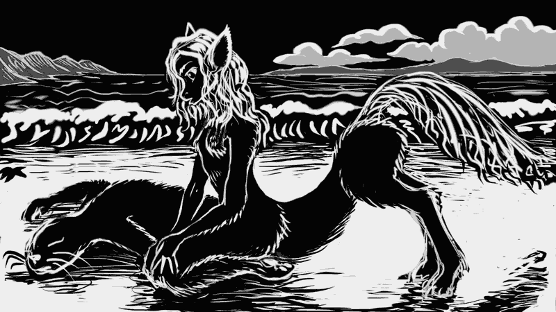
Chris Wayan: Dead Seal, 2017
So, some teeny-weeny differences. His seal, my almost-seal with hands; his busty beach babe in jeans and sandals, my skinny little foxtaur girl in bare fur; his intricate textures and my impatient lines; his settled monumentality versus my obsessive S-curves, the seal nearly fused with the fox.
One other difference: Killion can take hundreds of hours per image. I limit myself to just one hour per image, to force myself to focus on essentials. So easy for an autistic like me to get lost in the details.
Oh, wait. Sorry. I forgot. That's what Planetocopia is. The details. Of course proverbially the devil is in the...
|
Killion Tributes
|

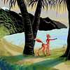
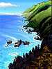
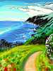
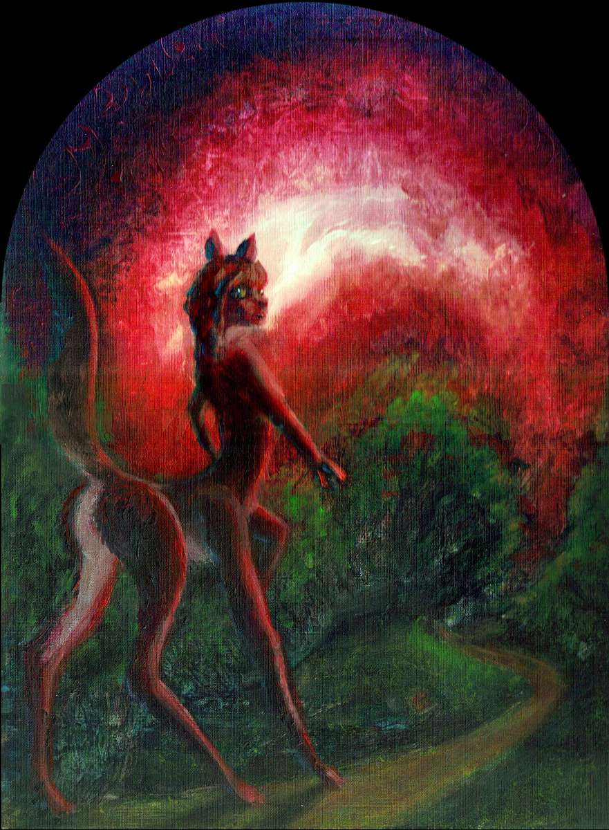
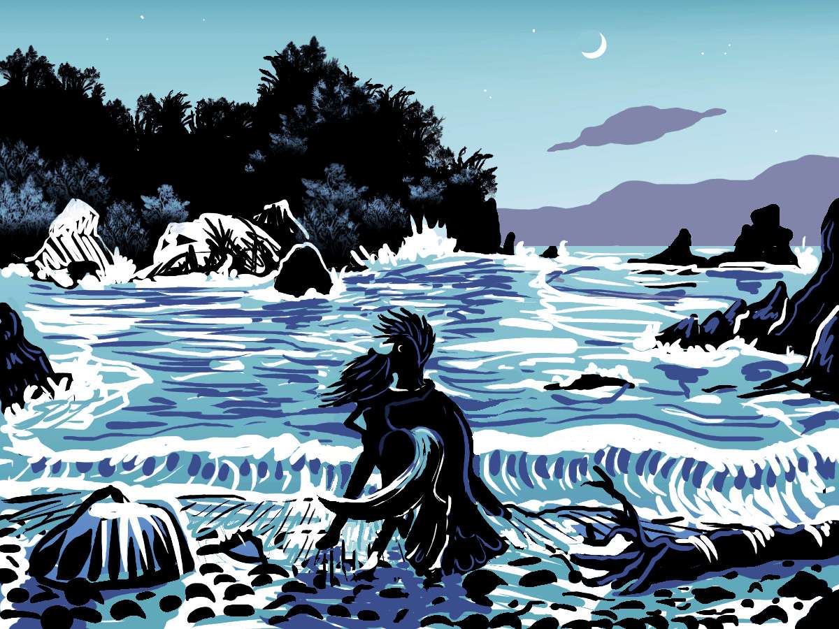
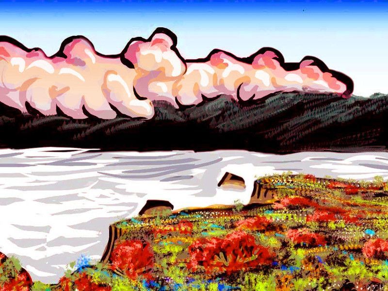
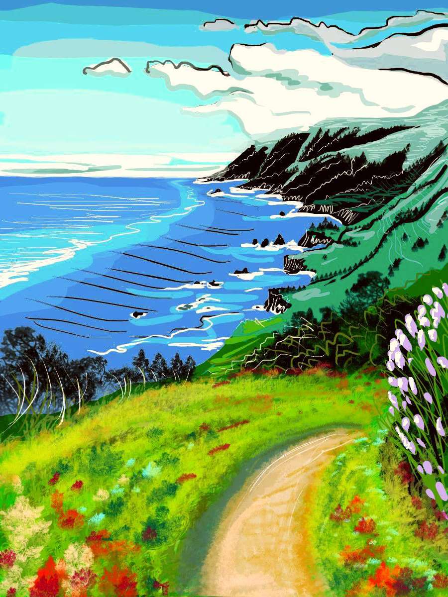
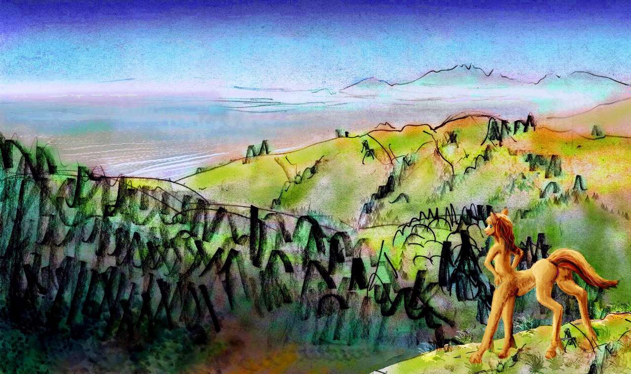
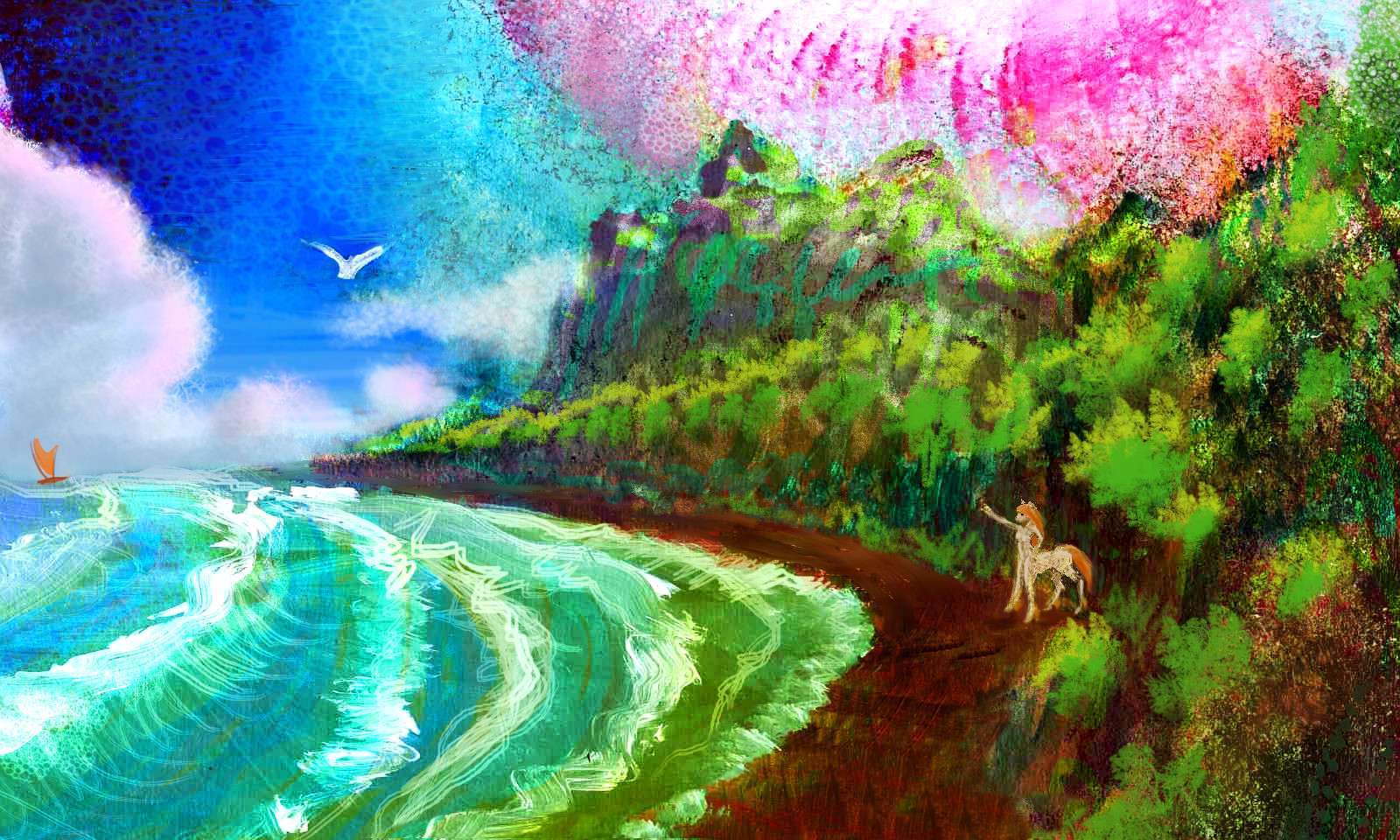
Red tide: dead seal, foxtaur
Mariana coast,
West Pacifica
|
Fjordlands inn
SW Angolia
|
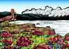
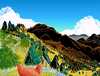
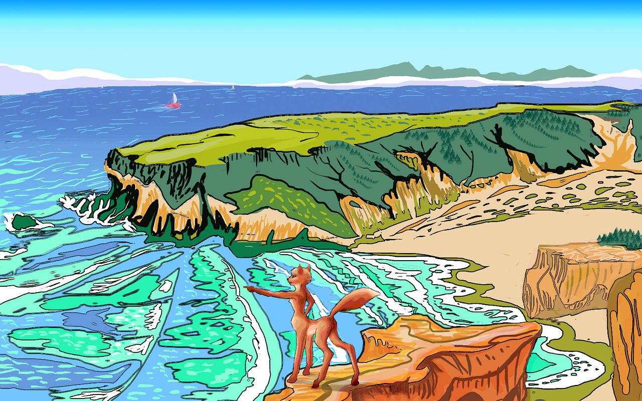
Fox and palms
SW Pacifica
|
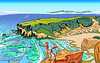
Fox, Pt. Wini
Hawaiian Sea, Pacifica
|
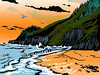
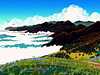
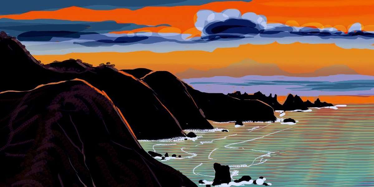
Usal Beach sunset
Mascarenia
|
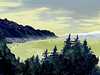
Sea-fog, pines
Bouvet Pen., Weddellia
|
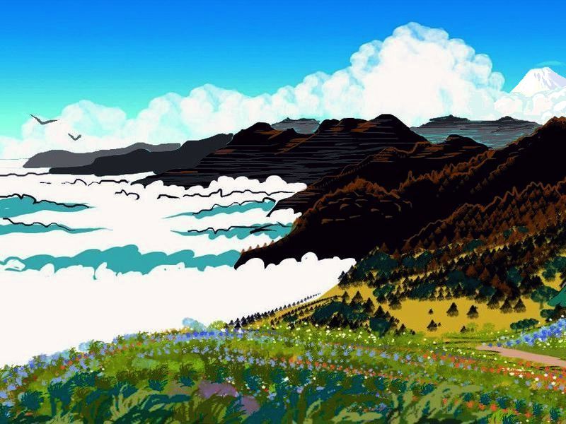
Mariana Mts
West Pacifica
|
Moa, eq, dusk
Serendip, off Somalia
|
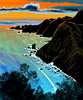
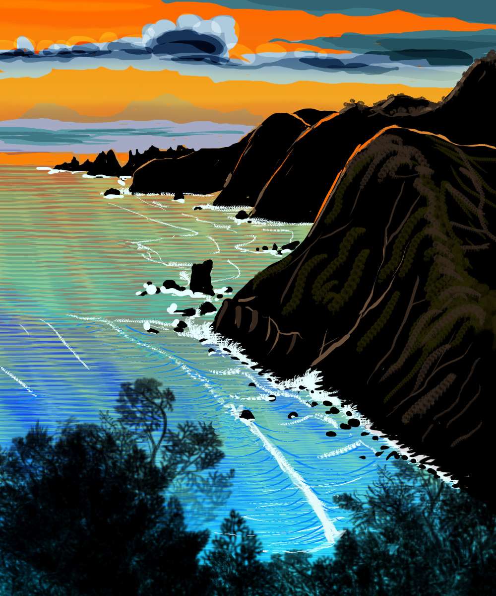
Coastal bluffs
NW Tristania
|
Stormy cove
Davis Is. off Whartonia
|
Steep coast
S. Cayman
|
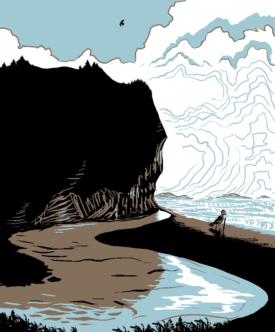
Diatryma, bluff
Plato Bay, Azorea
|
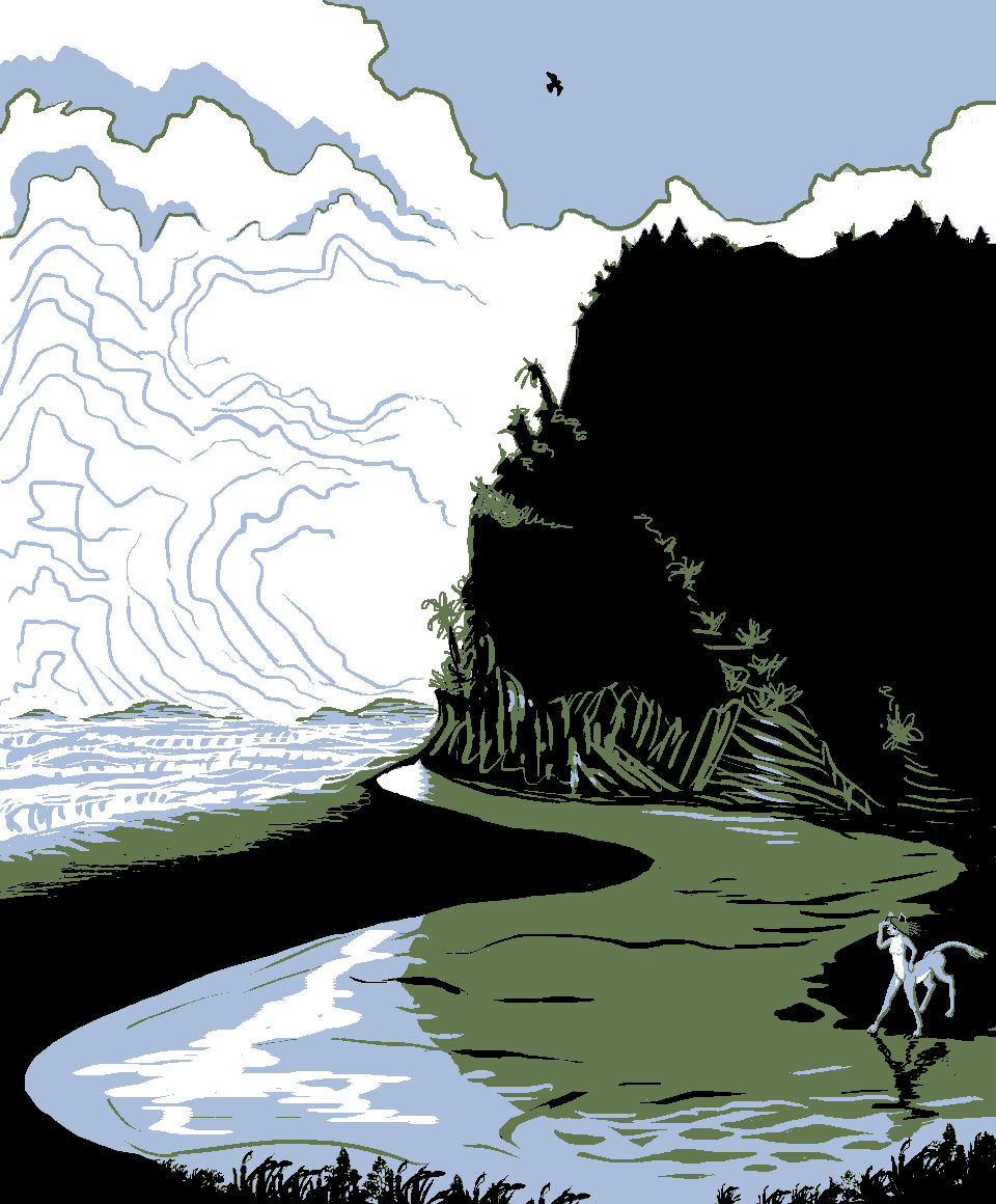
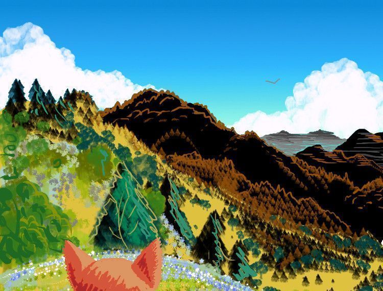
Leptaur, bluff
Leone Islands
|
C. Koonalda sunset, Bight
|

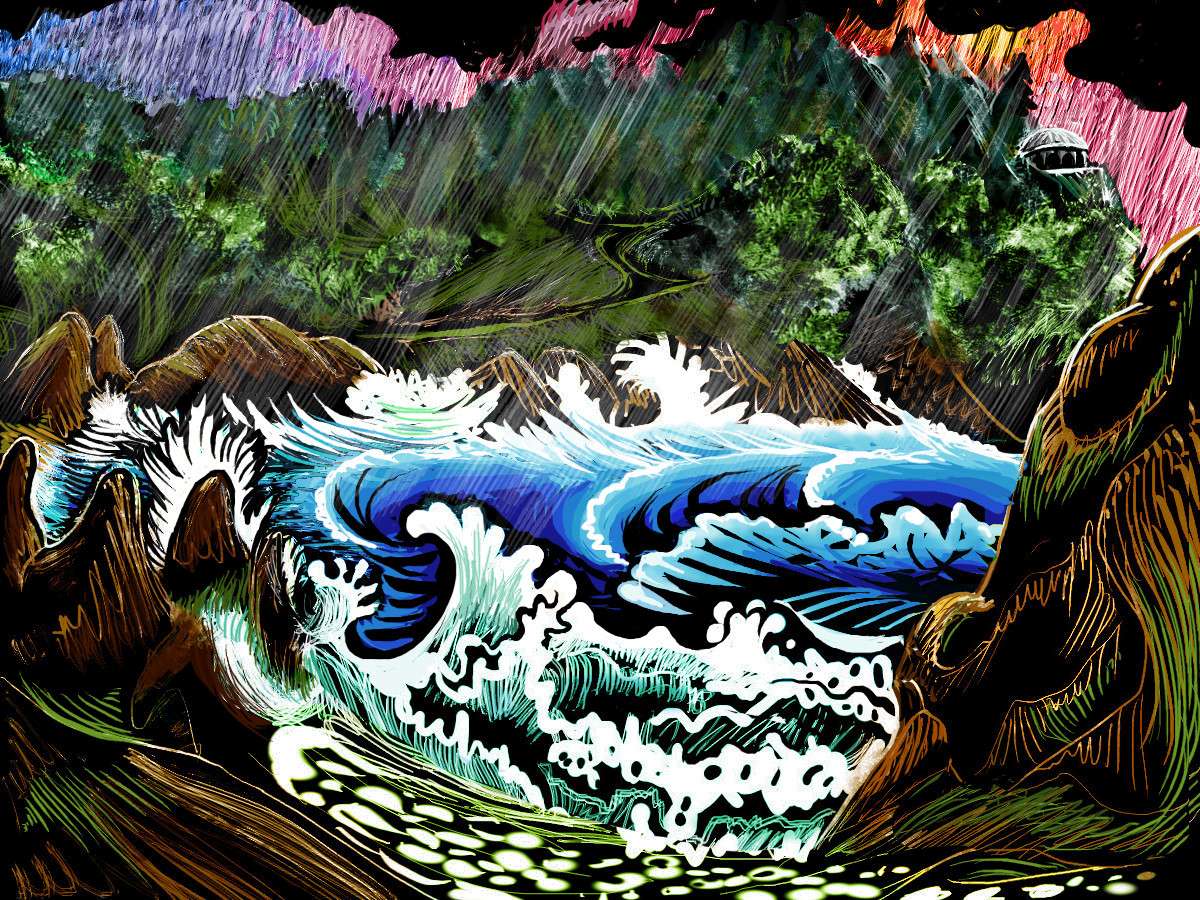
Stormy cove
southern Tasmans
|
Raitt Sound sunset, SW Whartonia
|
Ithaka Head
Greek Isles
|

sunset,
Sandwichia
|
Hatteras coast
western Atlantis
|
Andalga, sea
W. Peruvia
|
Bouvetia road
Agulhas Group
|
Kermadec Mts
western Agassiz
|
Mercator Mts
Central Pacifica
|
|
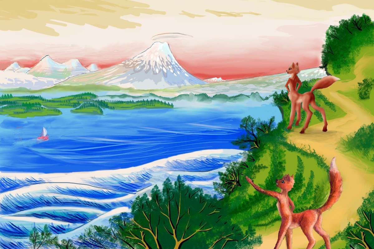
I'm having fun with Killion's bold shapes and contrasty palette, but I may eventually try emulating some other landscape artists. I greatly admire Chiura Obata's compositions, for example; I could try a set of tributes to him to cover the mountains and deserts of Abyssia's large continents. And there's always Hokusai and Hiroshige. How would their rival print-series translate? Views of Fuji, say, or Stages of the Tokaido? Here's a tribute to a print from Hokusai's series "100 Poets":

Foxtaurs on bluff view Mt Mindanao, on Filipinia; after Hokusai's Yamabe no Akahito in his woodcut series 100 Poets
Or I may just gain enough confidence to pry off my training wheels and wobble around drawing landscape on my own again...
 TOURS: this route snakes around Abyssia's major lands -
Lena Is. (brr!) -
Greek Is. -
Atlantis -
Azorea -
Cayman and Albatrosia -
Andean Is. -
Scotia Is. -
Morningtonia -
Agassiz -
South Pacifica -
East Pacifica -
Hawaiian Sea -
Pacifica Desert -
Filipinia -
Banda Is. -
Vityaz Archipelago -
Tasman Is. -
The Bight -
Whartonia -
Chagosia -
Somalia -
Mascarenia and Crozetia -
Weddellia -
Argentia -
Pernambuco -
Angolia -
Tristania -
Agulhas group
TOURS: this route snakes around Abyssia's major lands -
Lena Is. (brr!) -
Greek Is. -
Atlantis -
Azorea -
Cayman and Albatrosia -
Andean Is. -
Scotia Is. -
Morningtonia -
Agassiz -
South Pacifica -
East Pacifica -
Hawaiian Sea -
Pacifica Desert -
Filipinia -
Banda Is. -
Vityaz Archipelago -
Tasman Is. -
The Bight -
Whartonia -
Chagosia -
Somalia -
Mascarenia and Crozetia -
Weddellia -
Argentia -
Pernambuco -
Angolia -
Tristania -
Agulhas group
Abyssia's homepage - map - peoples - regional tours - names
LISTS AND LINKS: More worlds? Planetocopia! - dreams of other worlds - ecology - climate change - evolution - natural disasters - terraforming - sculptures and 3D art -
World Dream Bank homepage - Art gallery - New stuff - Introductory sampler, best dreams, best art - On dreamwork - Books
Indexes: Subject - Author - Date - Names - Places - Art media/styles
Titles: A - B - C - D - E - F - G - H - IJ - KL - M - NO - PQ - R - Sa-Sk - Sl-Sz - T - UV - WXYZ
Email: wdreamb@yahoo.com - Catalog of art, books, CDs - Behind the Curtain: FAQs, bio, site map - Kindred sites


